Most of my GIS work fits on one machine. A county of parcels, a few hundred river gages, a lidar tile at a time. But every so often a question gets bigger than the laptop, and I wanted to know what the tools for that look like when someone builds them for maps first. So I took both of the courses from Wherobots, the company behind Apache Sedona: Wherobots Fundamentals and the Geospatial Data Engineering Associate certification. I passed both, and the certificates are up on my LinkedIn.
This post is what I took away: what the platform is, how the courses are built, the King County project at the end, and one lesson I didn't expect to learn, which was about money.
Sedona, and the robots behind it
Apache Sedona started life as GeoSpark at Arizona State University, built by Jia Yu and Mo Sarwat. It became a top-level Apache project in 2023. The idea is simple to say: take the spatial tools GIS people already know, like points, polygons, rasters and the ST_ functions from PostGIS, and spread the work across a cluster of computers. A spatial join that would grind for hours on one machine gets split into pieces, and the pieces run side by side.
Wherobots is the company its creators founded in 2022. Its engine, WherobotsDB, is Sedona tuned for their cloud, and you work in notebooks with Python or plain spatial SQL. If you have written a PostGIS query, the first one feels like home:
Rasters get the same treatment through RS_ functions, so elevation models and imagery live next to the vector data instead of in a separate tool.
Course one: Fundamentals
Fundamentals is the guided tour. It starts with the cloud console and hooking up your own S3 storage, then works through notebooks on vector data, raster data and larger spatial analytics, with a quiz at the end of each chapter. The last chapter is the data-engineering side: matching messy GPS tracks to the road network, writing results out as GeoParquet, and running work as scheduled jobs instead of from a notebook you have to babysit.
Course two: raw, cleaned, ready
The certification is the one that changed how I think. It's a cohort course: live workshops each week, office hours, and something to turn in every week. The whole thing is built around one pattern, the layered pipeline people call bronze, silver and gold:
- Bronze is the data as it arrived, loaded into Iceberg tables with checks along the way: is every geometry valid, is the projection what it says it is, does the schema match.
- Silver is the cleaned, joined, standardized version, and the place where you learn which joins are slow and why.
- Gold is analysis-ready: summary layers for questions people will actually ask, and map tiles (PMTiles) so the results can go straight onto a web map.
The last week moves from the lab to production: scheduled jobs, a SQL API so other programs can ask questions of your gold tables, and Wherobots' AI tools for imagery.
What I like about the pattern is that it's honest about data. Nobody gets raw data that's ready to use. Keeping the raw copy untouched means you can always go back, and checking at every step means a problem gets caught in the layer where it started instead of showing up on a map three steps later. It's the same instinct as my COBOL handoff: don't trust a step until you can prove what it did. And it scales well past one project. Any team moving hundreds or thousands of tables to the cloud is doing this whether they call it bronze and silver or not.
The King County project
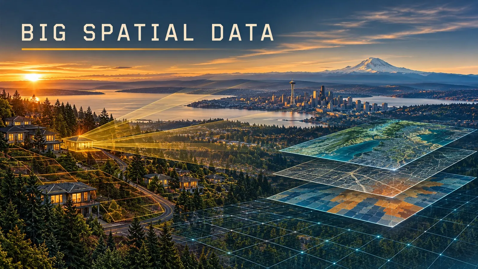
The final project used real King County data, and plenty of it: parcels, roads, census data, viewsheds and more. The question was a fun one: which neighborhood gives you the most for the money?
That question is a good test because no single dataset can answer it. Parcels bring the assessed values. Roads say how easy it is to get places. Census data describes the people and households in each area. And viewsheds, calculated from elevation, say what you can actually see from a spot: water, mountains, or the house next door. Each one gets cleaned and checked in its own bronze and silver layers, and only the gold layer brings them together into one score per neighborhood: what you get, set against what it costs.
A viewshed is also exactly the kind of job that needs a cluster. Working out what is visible from every parcel in a county of about 2.3 million people means a huge number of lines of sight across an elevation model. On one laptop that's an overnight job. Spread across a cluster, it's a coffee break.
The lesson I didn't expect: watch the meter
Here's the honest part. Wherobots is powerful, and using it feels like driving a real fancy Cadillac. Like any Cadillac, it rewards keeping an eye on the meter. As of this writing it bills in Spatial Units. One unit is roughly a 32-vCPU Sedona cluster for an hour, about $1.50 in the US regions. The free trial covers 14 days or $95 of usage, whichever runs out first, and then my trial ran out.
The thing that surprised me is that the meter doesn't care whether you're working. A running notebook keeps using units while you read the instructions, eat lunch or think about the next query. That changed how I work:
- Start small. Use the smallest runtime that works, and size up one step at a time only when a job proves it needs more.
- Shut it down. Destroy notebooks when you're done instead of leaving them idle. The idle timeout is a safety net, not a plan.
- Check the bill like a dataset. The workload history shows what each notebook and job used. Look at it weekly, not when the invoice arrives.
- Make big jobs earn their place. Explore on a sample, then run the full county once as a scheduled job.
When is it worth paying for? When the data truly doesn't fit, or the job has to run again and again on a schedule, a cluster built for spatial work pays for itself in time saved. For a county-sized question you only ask once, a laptop and some patience might do. Knowing which one you're looking at is most of the skill. The same goes for any move to the cloud: the computing is easy to start, and it pays to watch the bill from day one.
What's next
Sedona itself is free and open source, so the pipeline pattern doesn't need a subscription. Next I'd like to run a small version of it on my own machine against King County's open data, bronze to gold, and put the result on a map here. Until then, the certificates are on LinkedIn, and the bronze-silver-gold habit has already crept into everything else I build.
Go deeper
Apache Sedona — the open-source engine underneath it all, with docs for Spark, Flink and Snowflake.
Wherobots documentation — spatial SQL, raster functions, jobs, and a page on managing costs. · Pricing — how Spatial Units are billed.
Wherobots Fundamentals — the guided tour. · Wherobots learning site — the Geospatial Data Engineering Associate certification and a free workshop.
King County GIS Open Data — parcels, roads, elevation and much more. · Apache Iceberg — the table format for the bronze, silver and gold layers. · GeoParquet and PMTiles — spatial data and map tiles as plain files.