Leaflet · Interactive
Maps & Places
The geography of a life — places lived, countries visited, geocaches found across 25 countries. Hikes, races, and field work coming.
Places Lived
Coming Soon
🏃 Race courses — running, triathlon
🚴 Strava routes — rides & runs
🥾 Hikes — Cascades, Sierra Nevada
🗺️ Field work — GIS, ONDA, RIDGELINE
🏔️ Summits & high points
#30DayMapChallenge · November 2026
30 Maps in November
One map a day on the official themes, mostly about places I know: the Sierra foothills where I grew up, Rainier, Nevada and wherever geocaching has taken me. The drafts are already coming in.
Projects, dashboards and films
The maps that grew into projects: lidar atlases and analyses, dashboards that update on their own, and flyover films.
GIS projects
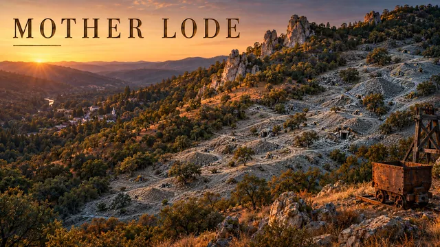 ⛏️ Mother LodeThe gold belt where I grew up, in bare-earth lidar.
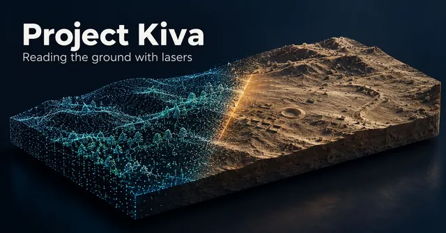 🏺 Project KivaTwelve archaeological places in bare-earth lidar, from Chaco Canyon to Cahokia.
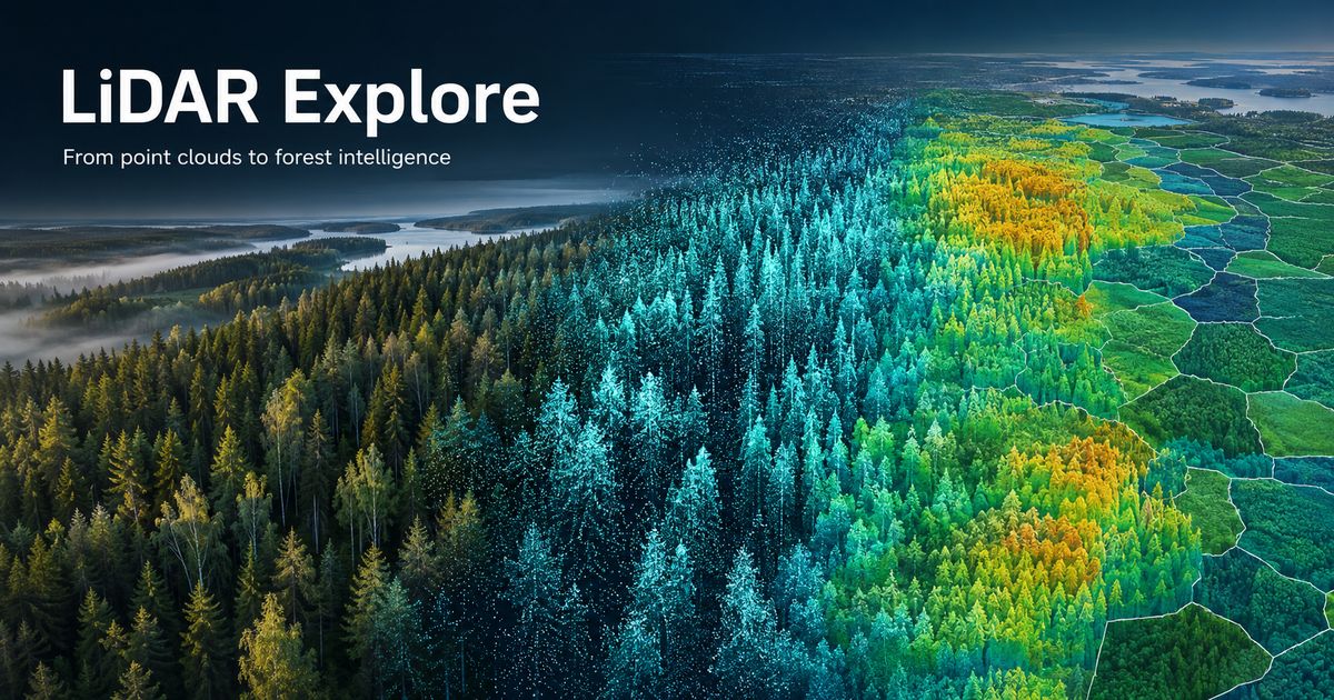 🌲 LiDAR ExploreA synthetic Finnish forest, then 1,840 real stands checked against Finland’s national inventory.
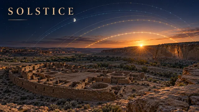 ☀️ SOLSTICEThe live Sun and Moon over Chaco Canyon, with each great house’s real skyline.
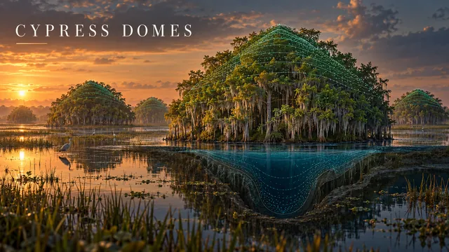 🌳 Cypress DomesCypress domes in Big Cypress, found by streaming USGS lidar.
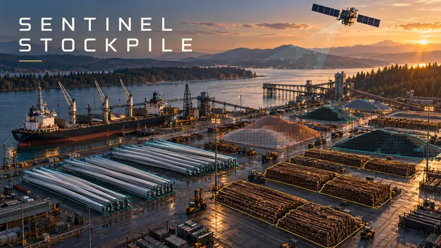 🛰️ Sentinel StockpileEight Pacific Northwest yards measured twice a week from Sentinel-2.
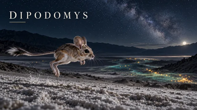 🐾 DIPODOMYSLive iNaturalist data on two kangaroo rat species in Death Valley.
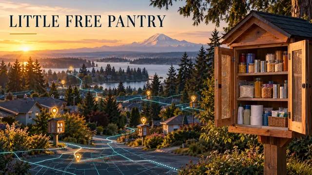 🏠 Little Free PantryAn interactive map of the Lakewood Rotary pantry network.
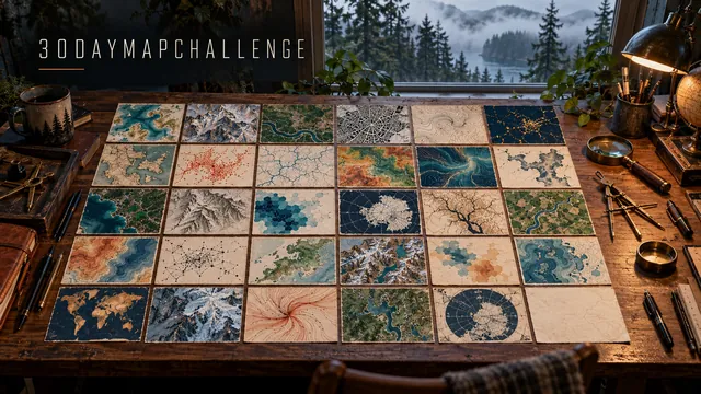 🗺️ #30DayMapChallenge 2026A map a day through November.
Live dashboards
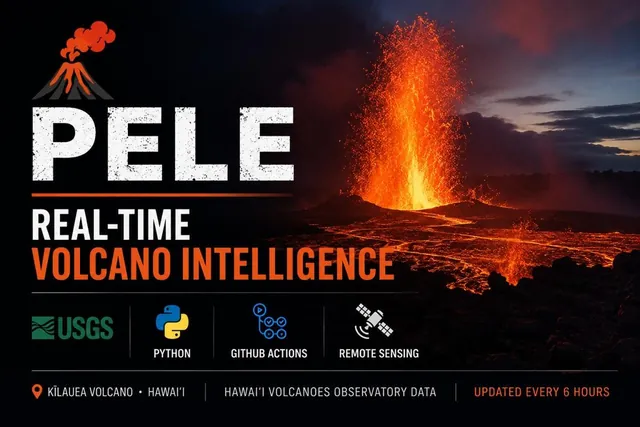 🌋 PELEKīlauea live: summit earthquakes, HVO webcams, alert levels and the fountaining log.
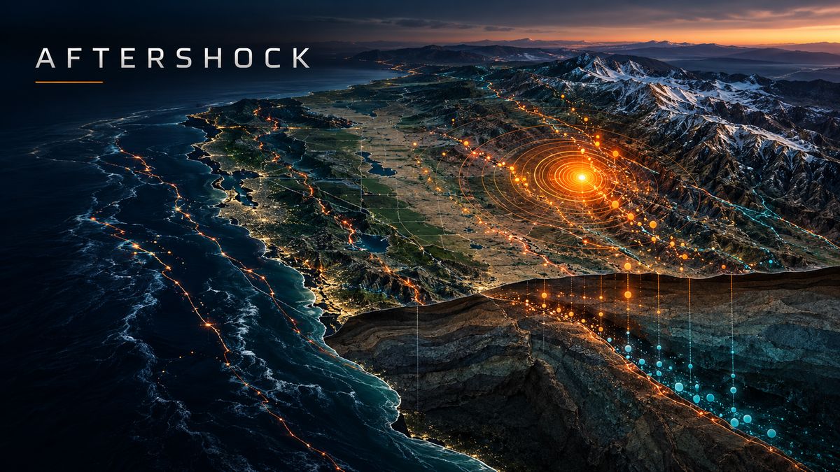 🌍 AFTERSHOCKA live earthquake dashboard for the US and the world, against ten years of normal.
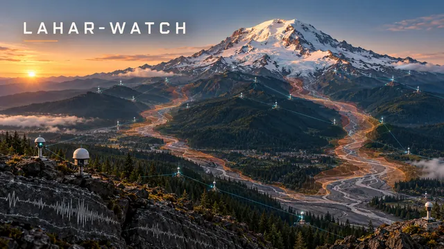 🌋 lahar-watchTen NOAA gauges on the rivers a Rainier lahar would follow.
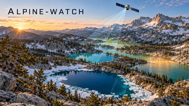 🏔️ ALPINE-WATCHSatellites watch 17 mountain lakes: colour, chlorophyll, ice-out and summer temperature.
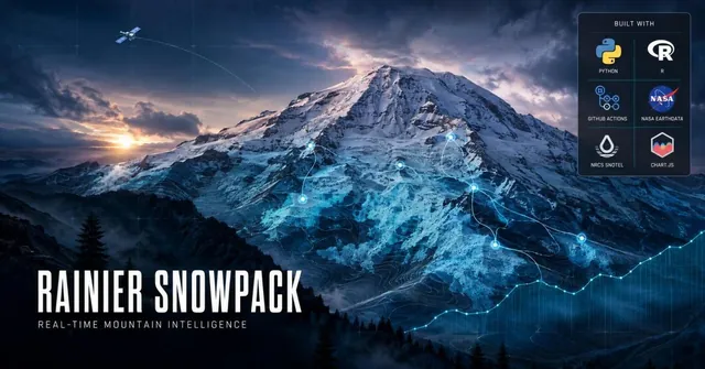 ❄️ STORM CHASERRainier’s snowpack, hourly: seven SNOTEL stations and NASA MODIS.
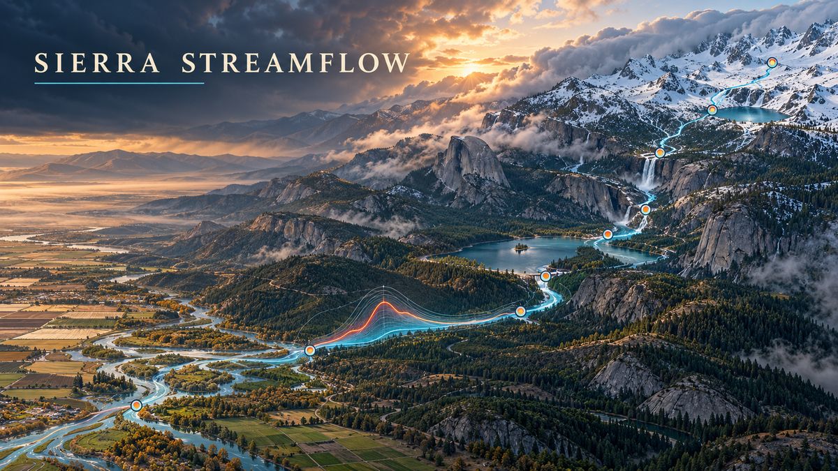 💧 Sierra StreamflowEight USGS stream gages across Sierra Nevada watersheds, with historical spaghetti charts.
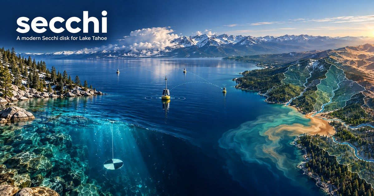 🔵 secchiLive water-clarity readings from the Tahoe Environmental Observatory Network.
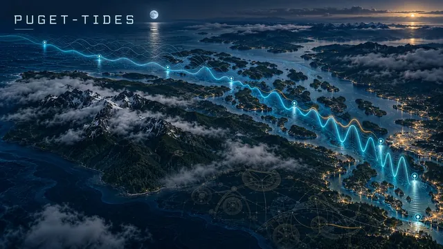 🌊 PUGET-TIDESEight NOAA tide gauges from Neah Bay to Tacoma; FORTRAN builds the tide from 37 harmonic constituents.
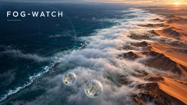 🌫️ FOG-WATCHA fog climatology for the Namib, the Atacama and San Francisco.
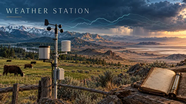 🌡️ Weather StationLakewood, Sonora, Reno and Death Valley, read live from National Weather Service stations.
Flyover films
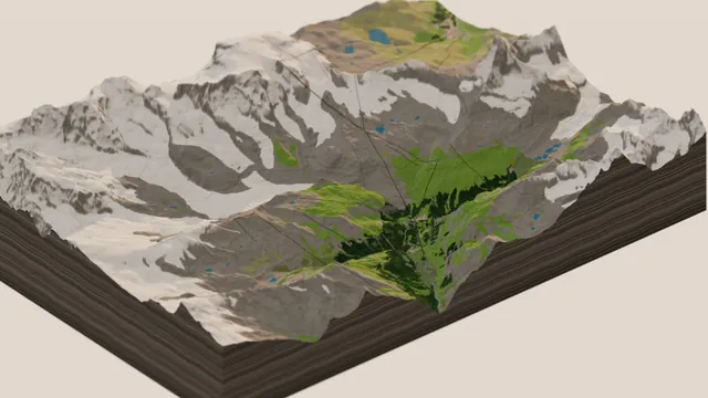 🐄 Zermatt in MiniatureThe Matterhorn, gondolas, the Gornergrat train, chalets and cows.
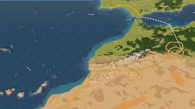 🏁 The Dakar in MiniatureThe 2027 rally from the Algarve to Marrakech, with a convoy in the dust.
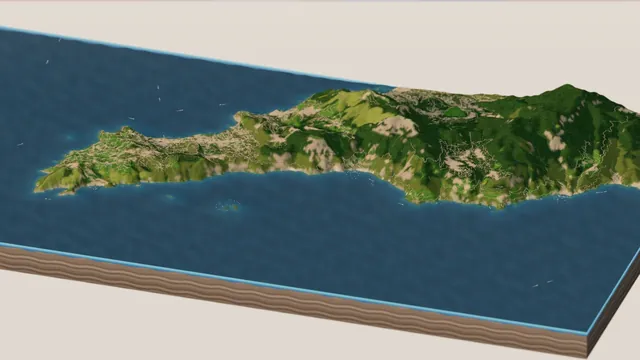 🍋 The Amalfi Coast in MiniatureCapri, Positano, Ravello and the coast road, with boats on the sea.
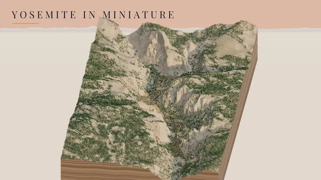 🧗 Yosemite in MiniatureThe valley, its waterfalls and Camp 4, as a tabletop diorama.
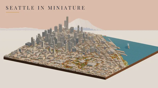 🏙️ Seattle in MiniatureThe Needle, the Monorail and the Westin, from OpenStreetMap.
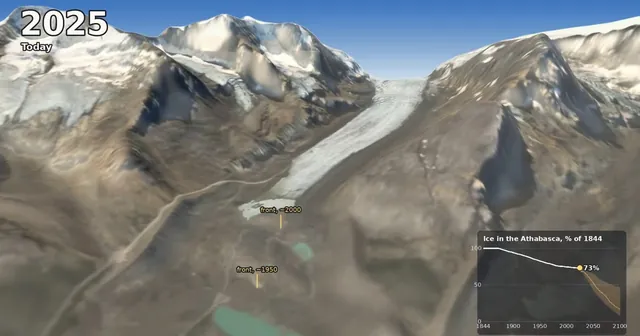 🧊 The Athabasca Glacier, 1844 to 2100One view from the Icefield Centre lookout, 256 years of ice.
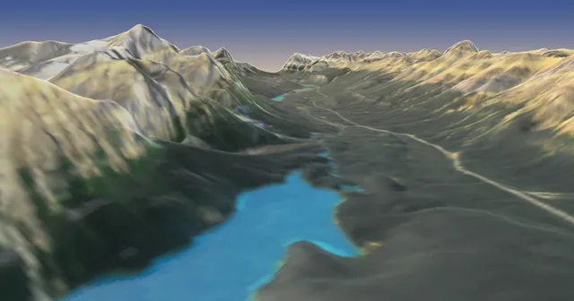 🏔️ The Icefields ParkwayLake Louise to the Columbia Icefield in 95 seconds.
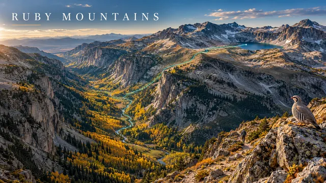 💎 The Ruby MountainsUp Lamoille Canyon to Liberty Lake on 1 m lidar.
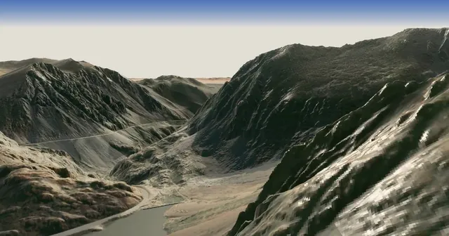 🌋 Mono BasinTioga Pass, Mono Lake and the Mono Craters on 1 m lidar.
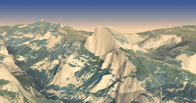 🧗 YosemiteHalf Dome to Tunnel View and back on a June evening.