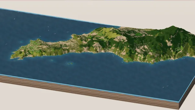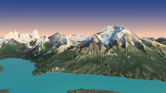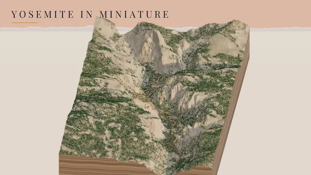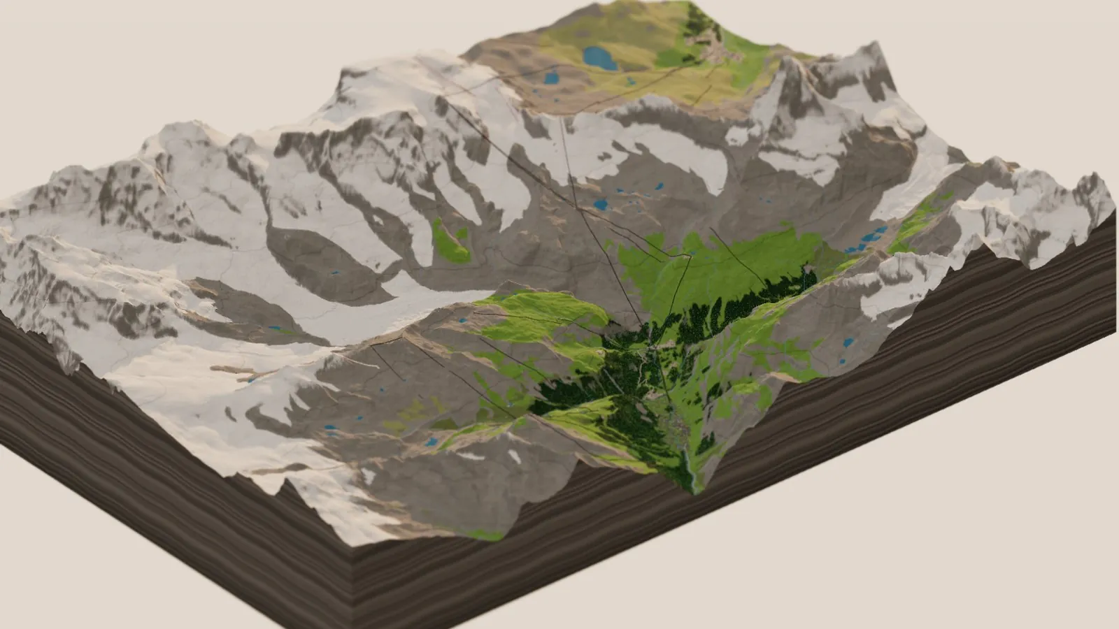
After Seattle, Yosemite, the Amalfi Coast and the Dakar, I wanted to go big and detailed, and Switzerland was the obvious choice. It has some of the best free 3D map data in the world. It also has the most famous mountain in Europe. So here is Zermatt and the Matterhorn, in miniature: the gondolas and the cable cars, the little red Gornergrat train, ski runs, chalets with red geraniums in the window boxes, alphorn players, and herds of cows on the high pastures. A few of the cows are dressed up in flowers for the trip down the mountain.
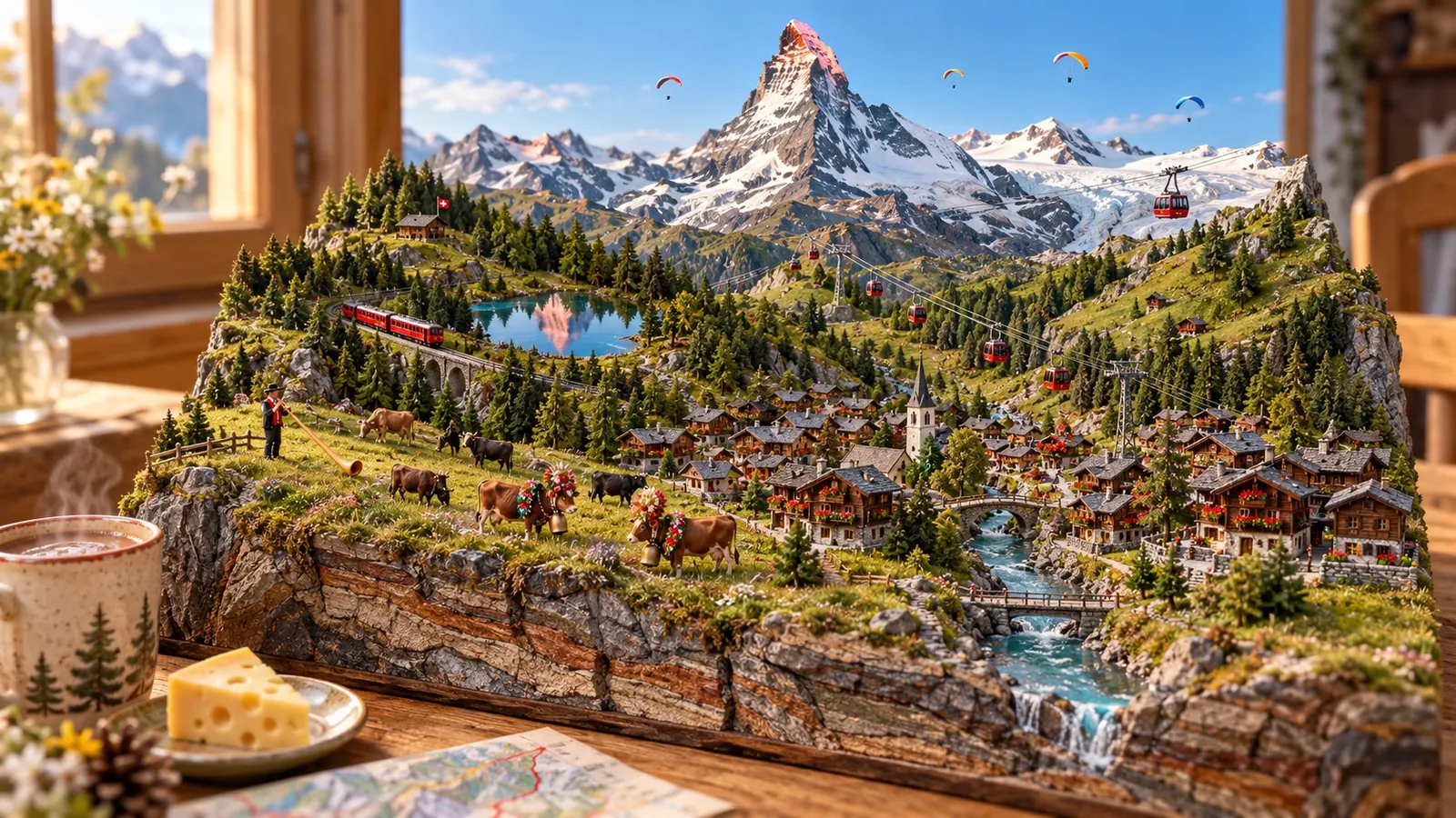
The dream version, as an AI illustration: Zermatt as a little model on the table, hot chocolate and Swiss cheese close at hand. The real diorama, built from map data, is just below.
Zermatt and the Matterhorn, morning to dusk, in summer · swisstopo swissALTI3D · OpenStreetMap · rendered in Three.js on GitHub’s free computers
and all
for winter
hotels
in flowers
Try it first
Drag to spin it, scroll to zoom, and tilt it right down to the pastures. Fly to takes you to the Matterhorn, Zermatt village, Gornergrat and Monte Rosa, the Riffelsee, the Hörnli ridge and its hut, Matterhorn Glacier Paradise, Sunnegga and the Stellisee, the Gorner Glacier, the cows above Findeln, and an alphorn player by the Riffelsee. Under Ride along you can ride the Gornergrat train, take the gondola up from Zermatt, or fly with a paraglider. The Summer switch turns it into ski season, and the Snow button brings in a storm.
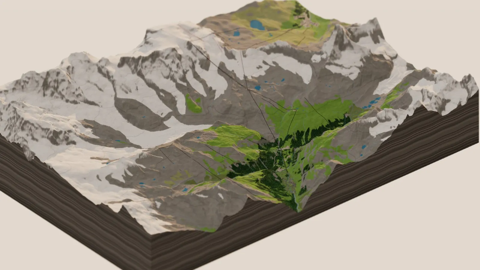
Loads the live 3D Zermatt right in this page (a few MB of data, so give it a moment) · or open it full screen
The mountain
The Matterhorn stands 4,478 m (14,692 ft) on the border between Switzerland and Italy, and from Zermatt you see it end-on: the Hörnli ridge running straight at you, the east face on the left and the north face on the right. That’s the view on every chocolate box, and it’s the one the diorama opens on. At dawn and dusk the light goes pink on the summit while the village is still in shadow. Climbers set off up the Hörnli ridge from the hut at 3,260 m in the dark, and on the diorama you can see their headlamps on the ridge before sunrise.
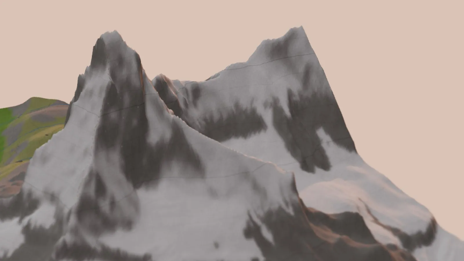
The Matterhorn at golden hour, from the Zermatt side.
Zermatt
The village sits at about 1,600 m at the head of its valley, and it’s car-free: visitors leave their cars down at Täsch and ride the train in. In the diorama all 2,620 buildings in the village and on the slopes are chalets, with a white stone base, dark larch wood above, grey slate roofs, and red geraniums in boxes under the windows. At night the windows light up one by one.
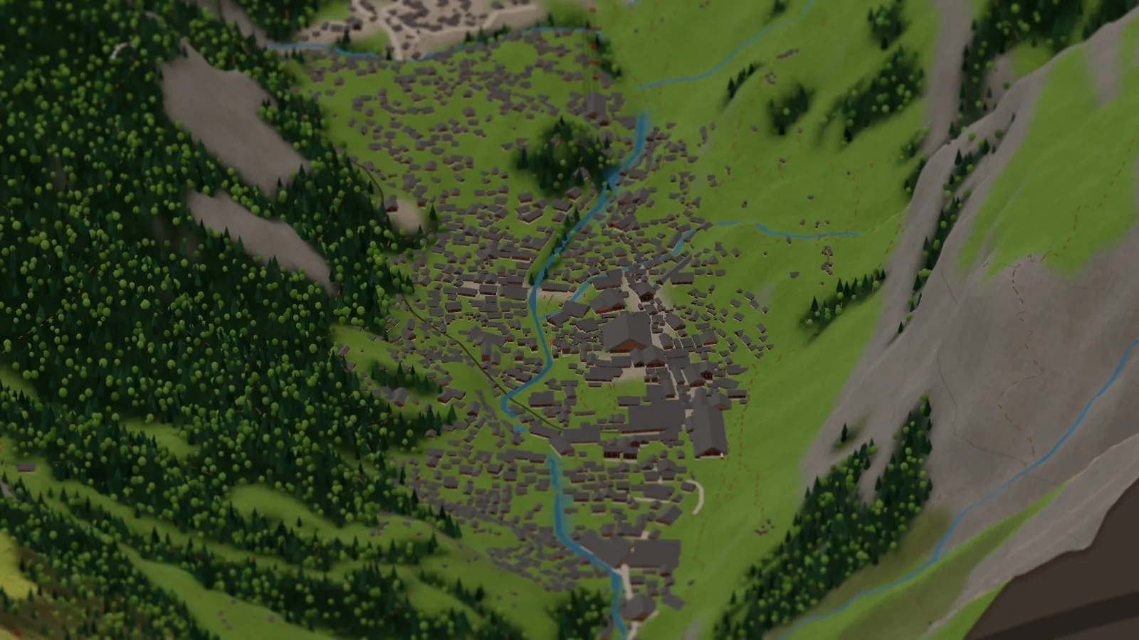
Zermatt village, with the Vispa running through it.
Gondolas, cable cars and a cog railway
Zermatt is a lift lover’s dream, and every one of the 46 lifts on the board comes from OpenStreetMap. Each gets its towers where the real ones stand, a cable that sags between them, and the right kind of cabin. The red gondolas of the Matterhorn Express loop up from the village. The big cable cars shuttle in pairs, one up while the other comes down, and wait at the stations. The chairlifts carry their chairs over the pastures. The 3S Matterhorn Glacier Ride goes up to Klein Matterhorn at 3,883 m, the highest cable car station in Europe.
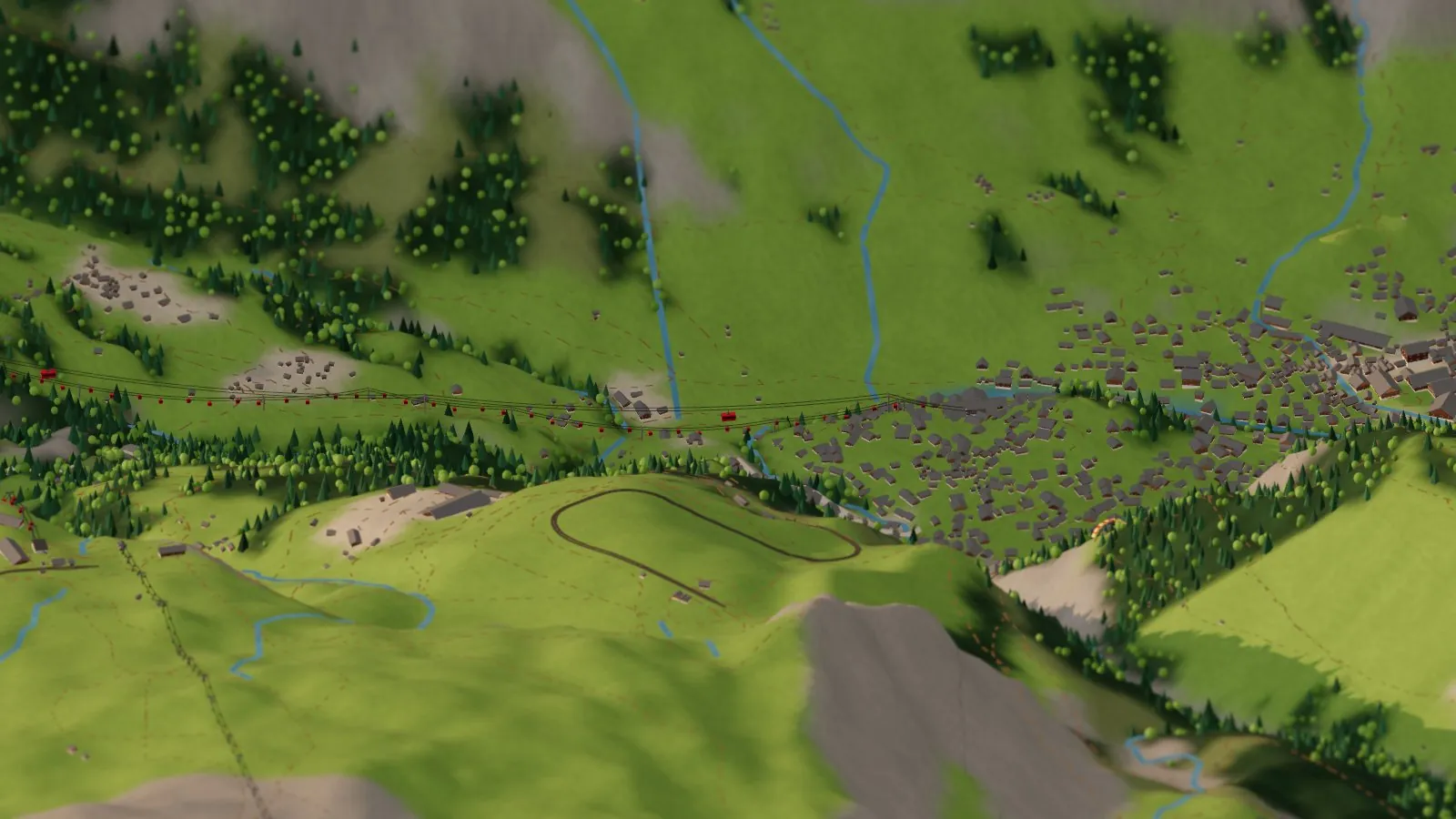
Riding the gondola up from Zermatt.
Then there’s the train. The Gornergrat railway climbs from the village through the larch woods, past the Riffelalp and the Riffelsee, to Gornergrat at 3,089 m. From there you get one of the great views of the Alps: Monte Rosa, the Breithorn, the Gorner Glacier and the Matterhorn all at once. On the diorama the little red train works its way up and down the line, and you can ride along.
Glaciers and Monte Rosa
Look south-east from Gornergrat and the whole skyline is ice. Monte Rosa’s Dufourspitze, at 4,634 m the highest point in Switzerland, stands at the end of a wall of peaks over the Gorner Glacier, the second-largest glacier in the Alps. All the glaciers on the board come from OpenStreetMap. The diorama keeps the ice off the very steepest faces, the way it is on the real mountain. The Gorner Glacier is shrinking fast. A board like this one, built every week from fresh map data, will slowly show it.
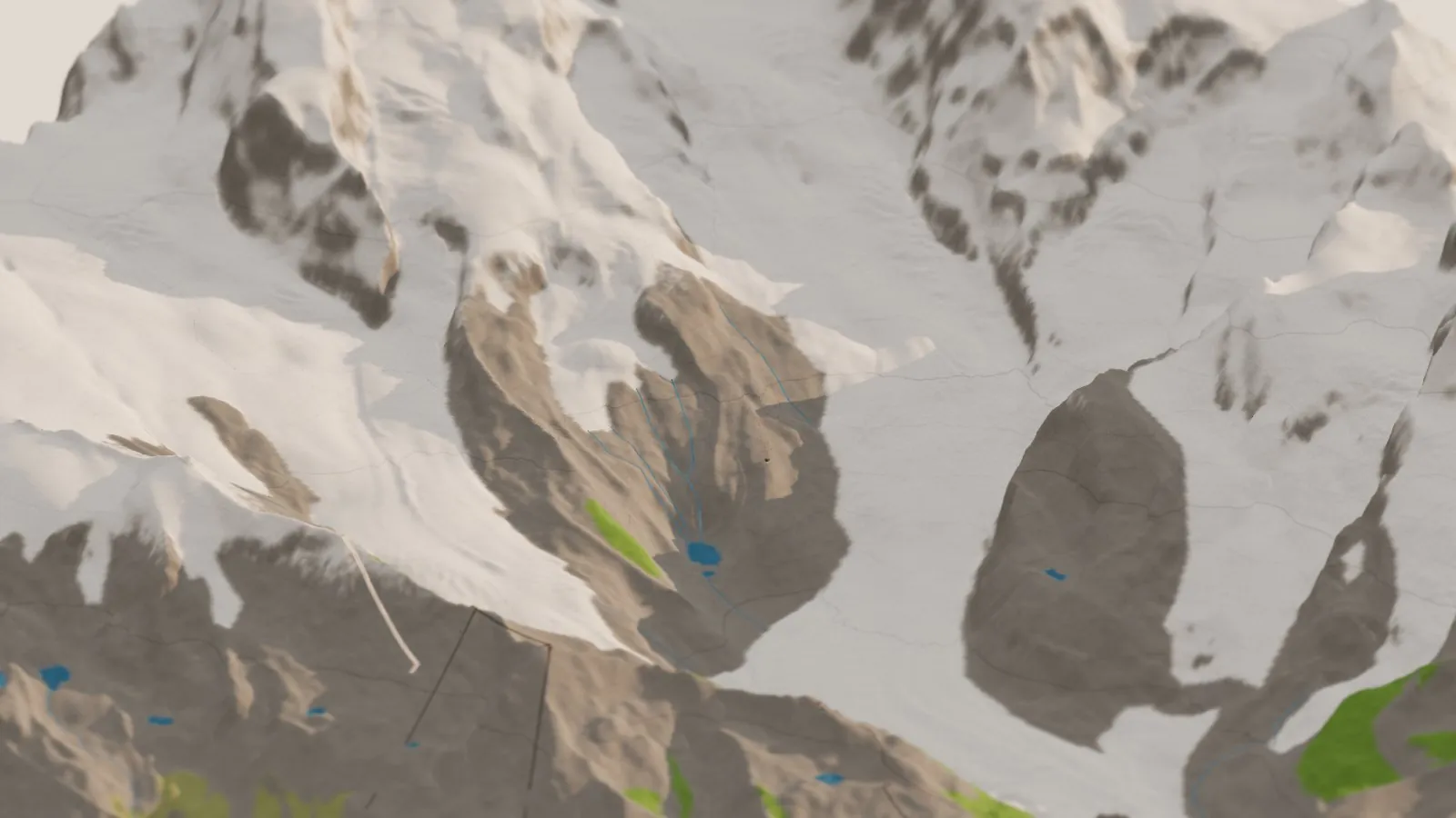
The Gorner Glacier and Monte Rosa, from above Gornergrat.
Cows, flowers and an alphorn
In summer the herds go up to the high pastures, and the diorama has 275 cows in 18 herds between about 1,750 and 2,550 m. Most are black Eringer cows, the local breed of the Valais, with some Brown Swiss mixed in, and all of them wear bells. Every so often you’ll spot one dressed for the Alpabzug, with a tall headdress of flowers and a little fir on top, and a big Treichel bell on an embroidered strap. And at a few of the best viewpoints, a man in a red vest and black hat stands playing an alphorn toward the Matterhorn.
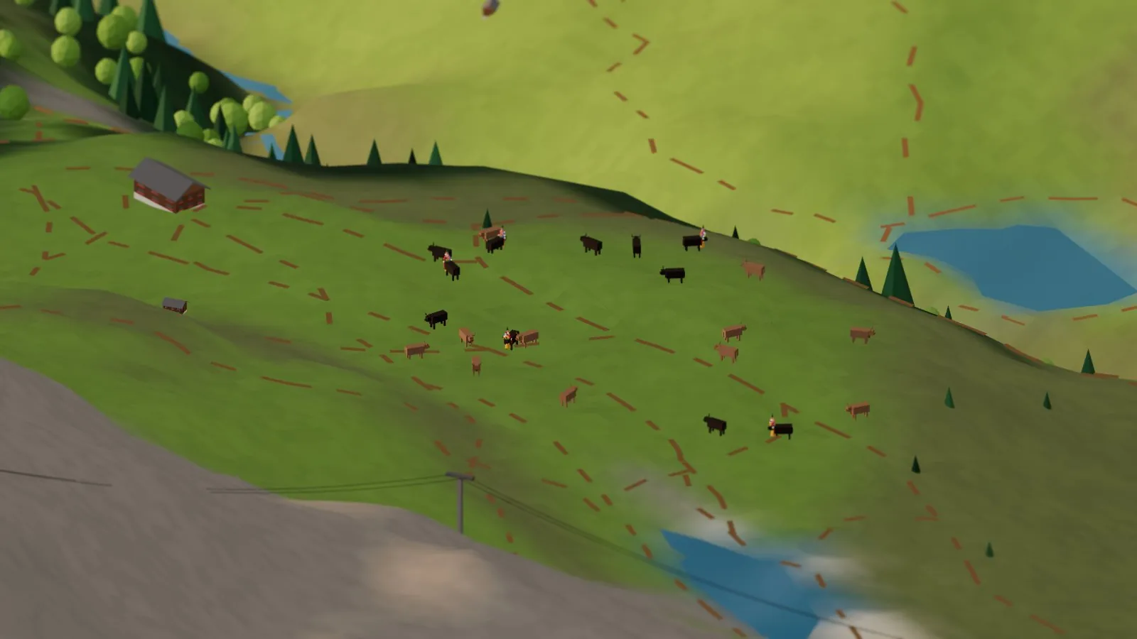
A herd above Findeln, with a few of the queens already in their flowers for the trip down. These are the same hand-built cows as in the character studio, below.
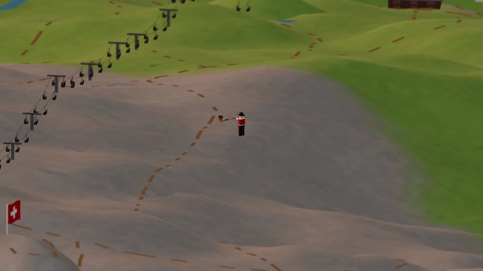
The alphorn player by the Riffelsee, turned to face the Matterhorn: the same little musician as in the studio.
Up close the diorama cows are tiny, so I built the two stars properly in their own little studio. Meet the Alpabzug queen and the alphorn player. She’s an Eringer with lyre horns, wearing a dome of fir and paper roses with a little tree on top, ribbons, flower garlands round her horns, and a bronze bell on a red strap embroidered with edelweiss. He wears the blue edelweiss shirt, a red embroidered vest with brass buttons and a watch chain, black breeches, white stockings and buckled shoes, a black hat with an edelweiss, and a gold earring in his right ear. Press Play the alphorn and he plays a little herders’ call that echoes back off the mountains. The horn plays only its natural notes, the way a real one does, including the odd 11th one, the “alphorn fa” that falls between F and F sharp. You can ring her bell, swap her for a Brown Swiss, or take off her finery for an everyday bell.
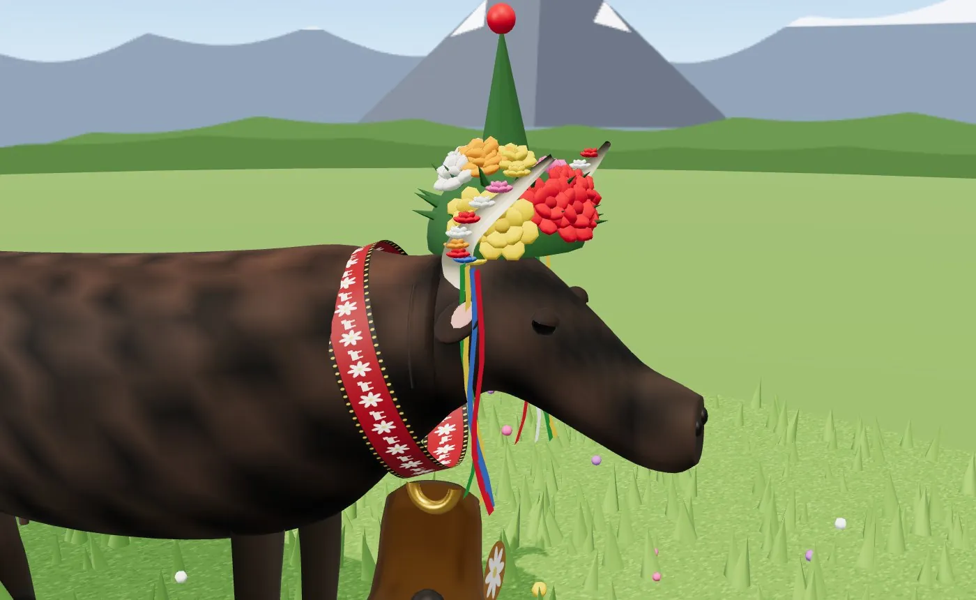
The Alpabzug queen in the character studio.
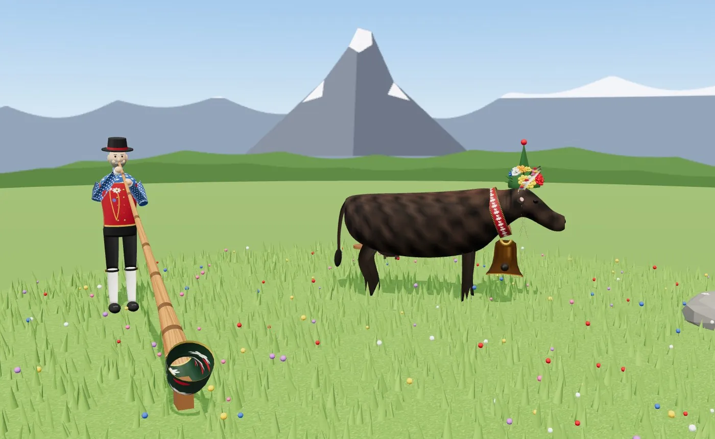
The two of them on their own little meadow. Press play to hear the alphorn.
Ski season
Flip the Summer switch off and it’s winter. Snow comes down to the valley floor, the lakes freeze, the chalet roofs turn white and the larches go bare. The cows go home to their barns, and 243 ski runs appear, marked blue, red and black just like the piste map, with skiers carving their way down them. The skiing never stops completely, though. Up on the glaciers below Klein Matterhorn the runs stay open all year, so in summer the diorama keeps those ones open.
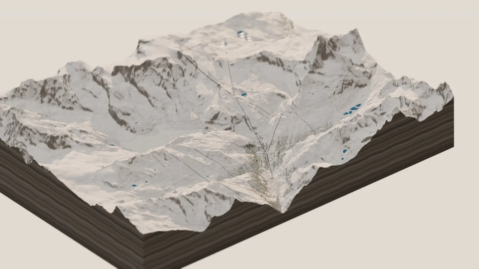
The same board in ski season.
Night in the village
Slide the clock to Night and Zermatt glows. Every chalet has its own pattern of lit windows, the lift stations go quiet, and up on the Hörnli ridge the first headlamps start to move.
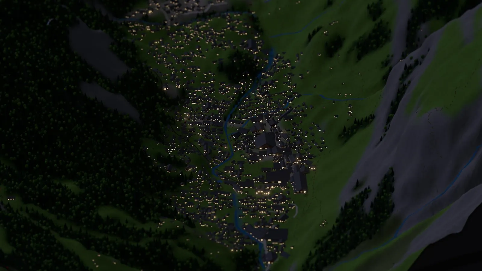
Zermatt after dark.
How it’s made
This one starts with the best data I’ve had for any of these. Since 2021 swisstopo, the Swiss federal mapping office, has given its data away free. That includes swissALTI3D, a model of the whole country’s ground surface on a 2 m grid, in 1 km tiles. The build script asks swisstopo’s catalog for every tile in the box, about 250 of them, and resamples them onto an 18 m grid for the diorama. The strip on the Italian side of the border, beyond swisstopo’s coverage, is filled in from Terrain Tiles on AWS. Heights are stretched a quarter taller than life so the relief reads from above.
Everything else comes from OpenStreetMap: the lifts with every tower, the railway, the 243 ski runs and their colors, the glaciers, the lakes and streams, the woods, the trails, and the 2,620 buildings, which the code turns into chalets by fitting a box and a gabled roof to each footprint. The cows are placed on open pasture of the right height and slope, in herds. The alphorn players, the flags and the paragliders I placed by hand.
As before, I built it with Claude. I brought the ideas and the wish list (the cows were my idea), and Claude wrote the code. GitHub Actions builds and publishes it, and the film was rendered there too, split across 20 free computers. The code is on GitHub.
Go deeper
The live diorama — ride the train and the gondola, fly with a paraglider, flip to ski season. Seattle, Yosemite, Tuolumne Meadows, the Amalfi Coast and the Dakar are in the place picker too.
The Dakar in Miniature, The Amalfi Coast in Miniature, Yosemite in Miniature and Seattle in Miniature — the others.
Wikipedia: Matterhorn · Wikipedia: First ascent of the Matterhorn · Wikipedia: Zermatt
Wikipedia: Gornergrat Railway · Wikipedia: Gorner Glacier · Wikipedia: Monte Rosa
Wikipedia: Hérens (Eringer) cattle · Wikipedia: Alphorn · Wikipedia: Pyramidal peak
swisstopo swissALTI3D — the ground, © swisstopo. · Terrain Tiles on AWS — the Italian side. · OpenStreetMap — lifts, railway, pistes, glaciers, buildings and names, © OpenStreetMap contributors (ODbL). · Three.js · the code.