After Yosemite, I wanted to point forge3d’s new flythrough tools at something bigger. The Icefields Parkway, Highway 93 through Banff and Jasper, is often called one of the most beautiful drives in the world. So here it is from the air: Lake Louise to the Columbia Icefield, about 130 kilometres of it, on a late-September evening.
The Icefields Parkway on September 25, 2025, 5:45 PM · Copernicus GLO-30 elevation · Sentinel-2 imagery · rendered with forge3d 1.40.1
Lake Louise to the ice
of parkway
under the camera
on a laptop GPU
The flight
- Lake Louise. It opens just above the lake, looking up toward the Victoria Glacier, then climbs out and turns north up the Bow Valley.
- The Bow Valley. High over the valley past Hector Lake, with the parkway as a pale thread on the valley floor, toward Crowfoot Glacier and Bow Lake.
- Peyto Lake. The one stop that gets a slow pass. It eases over Bow Summit, the highest point on the road, and drifts out over Peyto’s glacial turquoise.
- Down the Mistaya. Past the Waterfowl Lakes to Saskatchewan Crossing, where the braided North Saskatchewan comes in from the west.
- The icefield. It climbs past the Big Bend and Sunwapta Pass, crosses toward the Athabasca Glacier, and holds over the Columbia Icefield, the largest icefield in the Rockies.
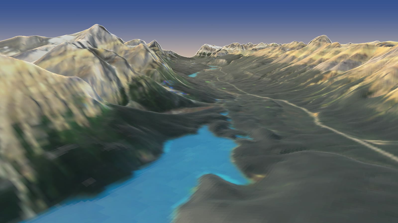
Forty seconds in: Peyto Lake from above Bow Summit, the Mistaya valley beyond.
How it’s made
Same recipe as Yosemite, with satellite data instead of lidar, since Canada isn’t covered by US lidar or aerial photos.
- The shape is a satellite DEM. The European Space Agency’s Copernicus GLO-30 elevation model covers the whole planet at about 30 metres, built from radar flown on the TanDEM-X mission. I stitched four of its tiles and resampled them to a 25-metre grid, about 17 million heights from 744 to 3,683 metres.
- The colour is Sentinel-2. The European Sentinel-2 satellites photograph the whole Earth every few days. September 25, 2025 was nearly cloud-free over the parkway, so most of the image comes from that one pass, with the odd cloud patched from other late-September passes using Sentinel-2’s own cloud mask.
- The light is computed. The sun is placed where it was on September 25 at 5:45 PM, low in the west-southwest, and the GPU works out which slopes face it and how dark the folds should be. A few lines of Python paint the evening sky and the colour grade.
The camera path is twelve keyframes, each a position, a point to look at, a speed and a lens, smoothed into one curve. A check against the elevation model keeps it at least 200 metres off the ground.
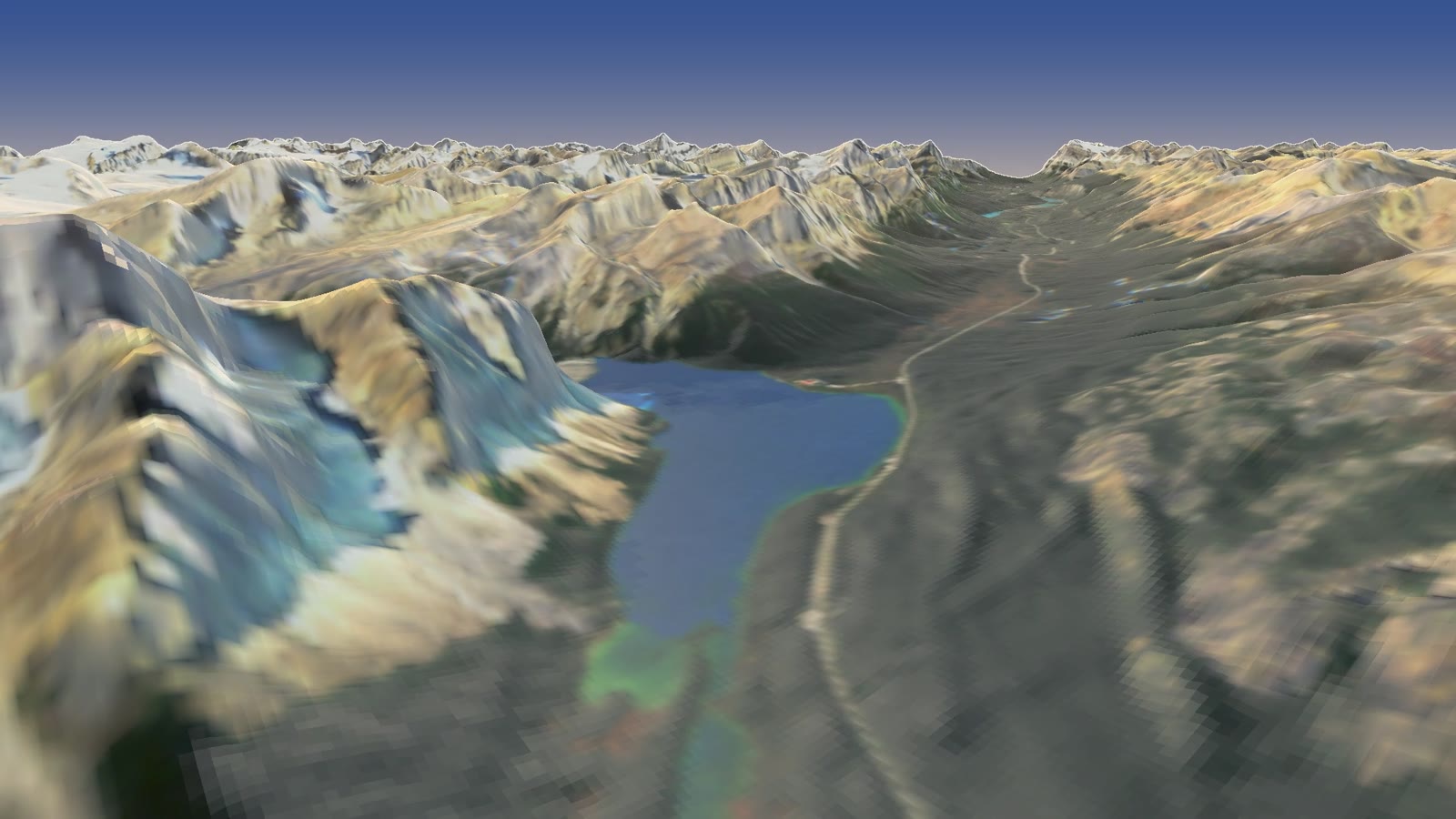
Bow Lake, under the Crowfoot Glacier and the Wapta Icefield.
Four things that went wrong first
- The lakes came out grey. Bow Lake rendered like a puddle of concrete, and the forests looked beige. I tested it with a plain dark-green image draped over the terrain, and it still came out pale. The renderer’s sun adds a shine that ignores the ground’s colour, so on anything dark (deep water, conifer forest) the shine wins. A gentler sun and a stronger sky light fixed it: the sky light only scales the satellite’s own colours.
- The satellite saw shadows on the water. Sentinel-2 passes mid-morning, so a ridge’s shadow lay across part of Peyto and Lake Louise. A small step now finds each lake from its turquoise, reads the water level from the elevation model, and repaints the shadowed water in the lake’s own colour.
- Blocky shadows. The renderer’s shadow map is a fixed-size picture spread across a 100-kilometre scene, so each of its pixels covered tens of metres and left stair-stepped grey patches on flat ground. Shading straight from the terrain was cleaner.
- Peyto went by in a blink. At a steady speed the most famous view on the road flashed past in about a second. The flight now slows right down over Bow Summit and drifts over the lake before picking up again.
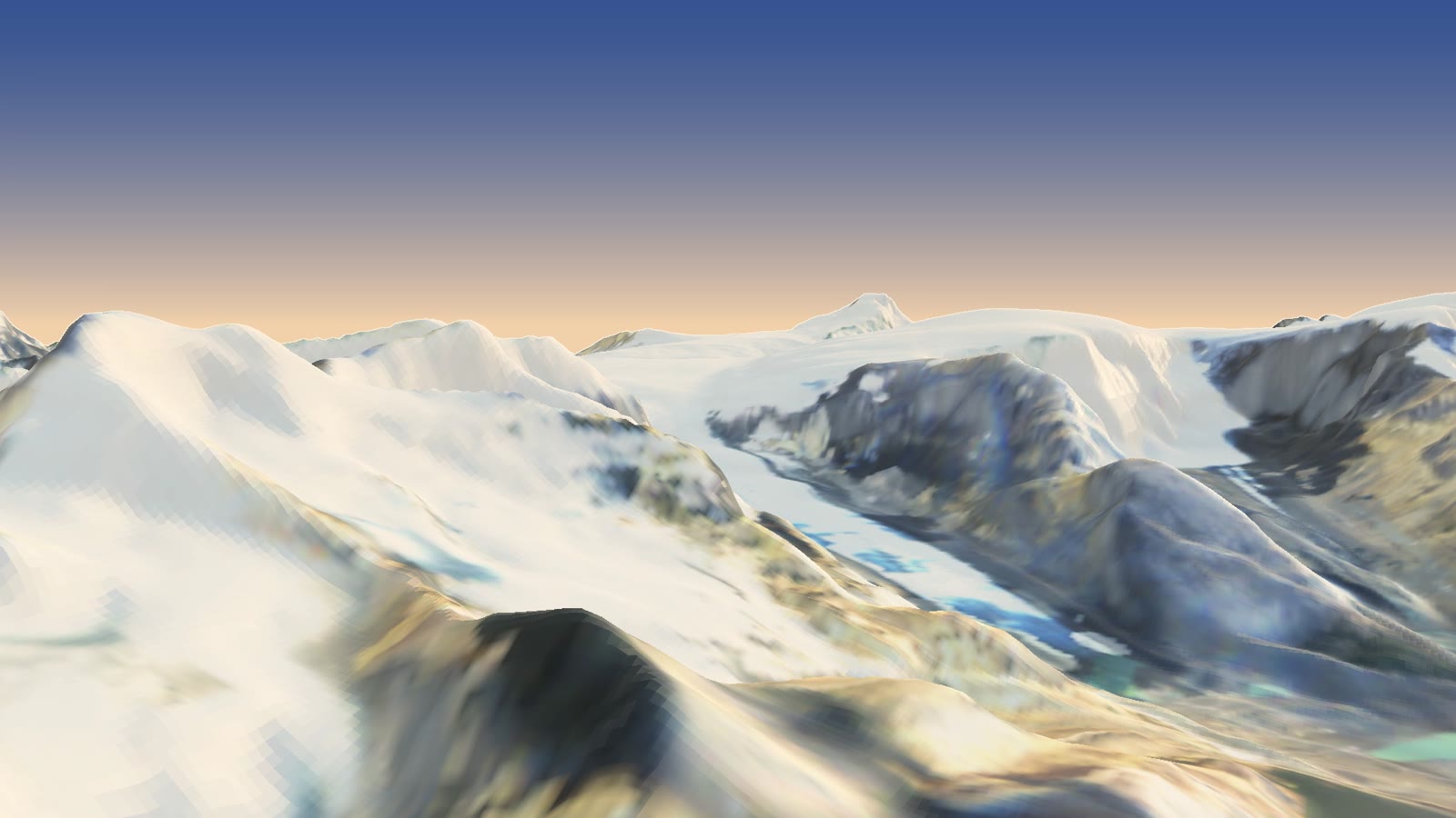
The last frames: the Columbia Icefield.
Last thing
This is my third flight with forge3d’s new tools, after the Yosemite Valley flyover and the Humphreys Peak orbit, and the first built entirely from satellite data. It’s a 25-metre view, so the cliffs are softer than lidar would make them, but the whole road is there, lake to lake to ice. Thanks again to Milos for forge3d.
Data: Copernicus DEM GLO-30 © DLR e.V. 2010–2014 and © Airbus Defence and Space GmbH 2014–2018, provided under COPERNICUS by the European Union and ESA; Copernicus Sentinel-2 L2A imagery (2025), via the Earth Search catalogue on AWS. Rendering: forge3d 1.40.1 by Milos Popovic. Sun position from forge3d’s solar calculator.
Go deeper
Glaciers: What Future? — Mountain Voices (UIAA), 17 March 2025, about 53 min. Ice climber Will Gadd and repeat-photographer Mary Sanseverino on the Athabasca Glacier and why its retreat matters.
How did the Canadian Rockies form, with Nick Zentner — Wonder (GeoCo), 19 May 2026, about 34 min. The ever-cheerful Central Washington University geologist on the forces that stacked up these peaks.
Tennant, C. & Menounos, B. (2013). Glacier change of the Columbia Icefield, Canadian Rocky Mountains, 1919–2009. Journal of Glaciology 59(216), 671–686.
Clarke, G.K.C., Jarosch, A.H., Anslow, F.S., Radić, V. & Menounos, B. (2015). Projected deglaciation of western Canada in the twenty-first century. Nature Geoscience 8, 372–377.
Hugonnet, R., McNabb, R., Berthier, E. et al. (2021). Accelerated global glacier mass loss in the early twenty-first century. Nature 592, 726–731.
The Canary in the Icefield — CBC News; a beautiful long read on Peyto Glacier, the ice that feeds the lake in the slow pass.
Satellite Images Show Disappearance of Iconic Canadian Glacier — Yale Environment 360, 2022; Peyto’s shrinking, seen from space.
Copernicus DEM (GLO-30) — the 30-metre global elevation model under the flight. · TanDEM-X — DLR’s twin radar satellites that measured it.
Sentinel-2 — ESA’s mission page for the colour. · Sentinel-2 Cloud-Optimized GeoTIFFs on AWS — the archive behind the Earth Search catalogue.
Banff National Park & Jasper National Park — Parks Canada, for when you want to drive it for real.
forge3d — the Python terrain renderer. · icefields-flyover — this project’s code.