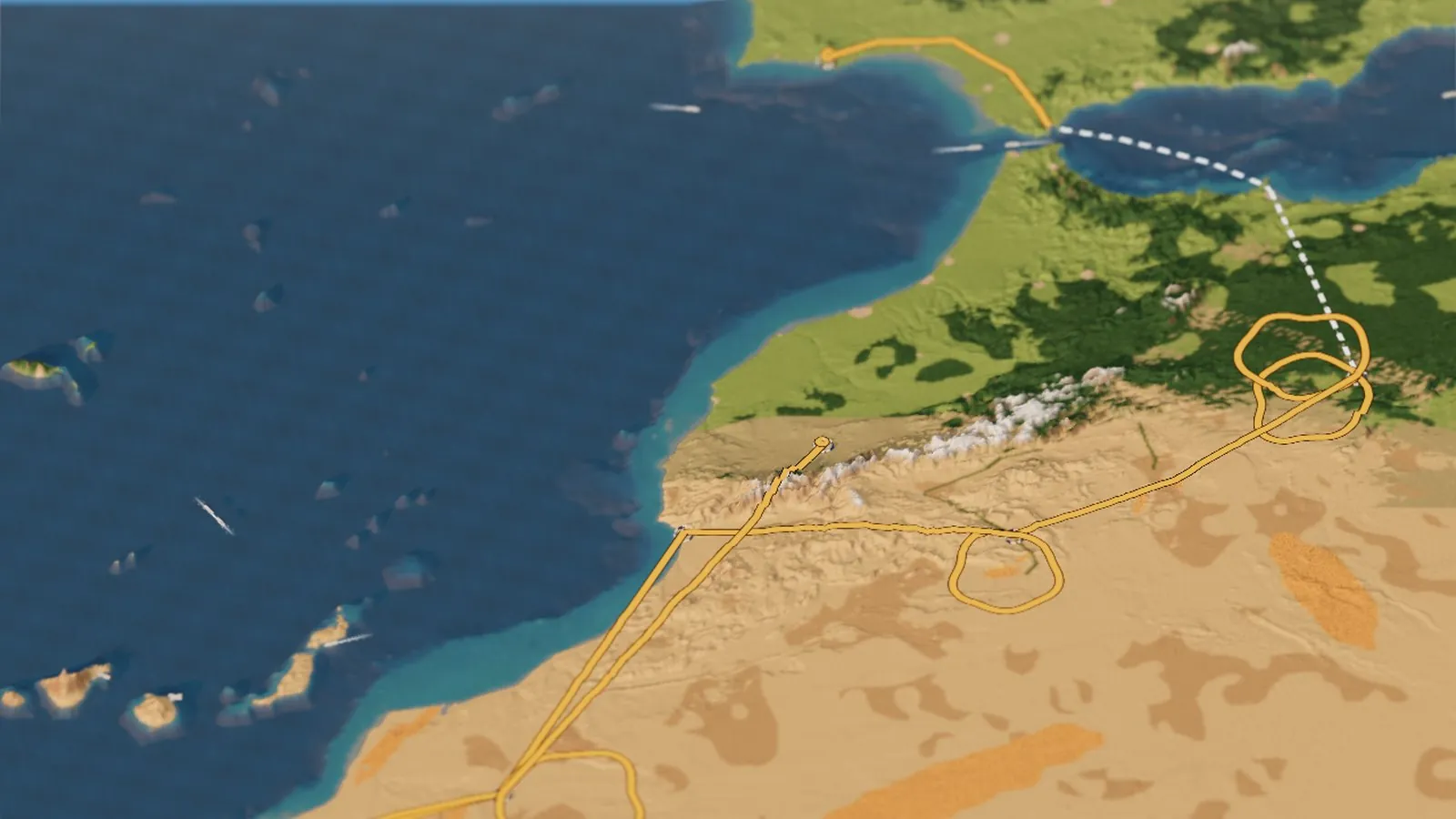
The Dakar Rally is going back to Africa. For seven editions it has run in Saudi Arabia, and the 2027 route there was announced back in May. Then on 25 October it was dropped over security in the Middle East, and five days later ASO came back with a whole new plan: a prologue in Portugal’s Algarve on 9 January, a ferry across to Morocco, and twelve stages through the Atlas and the Sahara to a finish in Marrakech on 23 January. It’s the first Dakar on African ground since 2007.
I’ve been following the rally on my Dakar 2027 tracker, and I’d just finished my little tabletop dioramas of Seattle, Yosemite and the Amalfi Coast. So the day the route came out, the obvious question was: could the same engine hold a whole rally? It can. Here is the 49th Dakar, in miniature.
The Dakar 2027 route, dawn to night · Terrain Tiles on AWS (SRTM, ETOPO1) · route from ASO · rendered in Three.js on GitHub’s free computers
of them timed
a prologue
Madeira to Figuig
mountains ×9
Try it first
Drag to spin it, scroll to zoom, and tilt it from a map view right down into the dunes. Fly to follows the rally in order: the Algarve start, the strait and the ferry, the Bouârfa loops, the Merzouga dunes, Zagora and the Draa, the High Atlas, the Agadir rest day, Smara and the refuge, and the finish in Marrakech. Each one lights up its stages on the route and tells you the day’s distances. Under Ride along you can follow the bikes, the cars or the trucks, each kicking up its own dust as it drives the whole rally. Slide the clock to night to see the bivouacs light up, or press Winter storm for an Atlantic front coming in over the Atlas.
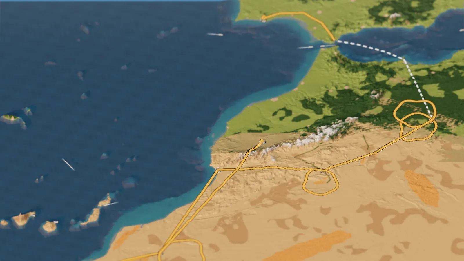
Loads the live 3D rally right in this page (a few MB of data, so give it a moment) · or open it full screen
From the Algarve to Africa
The rally starts in Europe. The prologue on Saturday 9 January is a short 29 km loop around Loulé and Faro that sets the starting order. Stage 1 then heads east toward the Strait of Gibraltar, and that night the whole caravan of bikes, cars, trucks and support crews boards the ferry for Nador on Morocco’s Mediterranean coast. The next day is an untimed transfer, almost 600 km down to the first bivouac at Bouârfa near the Algerian border. On the board the ferry crossing is the dashed white line, and if you ride along you can watch your bike roll onto the boat.
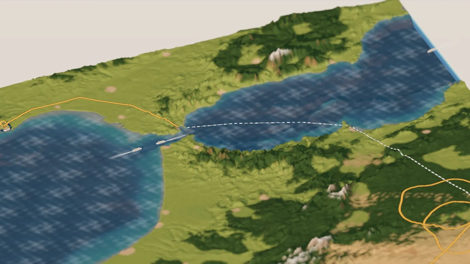
Europe and Africa, 14 km apart at the Strait of Gibraltar. The dashed line is the ferry to Nador.
The Atlas in January
Morocco’s spine is the High Atlas, and in January it carries snow. Jbel Toubkal, at 4,167 m (13,671 ft) the highest peak in North Africa, stands just south of Marrakech. The route crosses the range more than once: stage 6 from Zagora to the coast at Agadir, and the long run north on stage 11 from Smara to the finish. Fly in from the north and the whole wall rises out of the green Haouz plain, white along its crest.
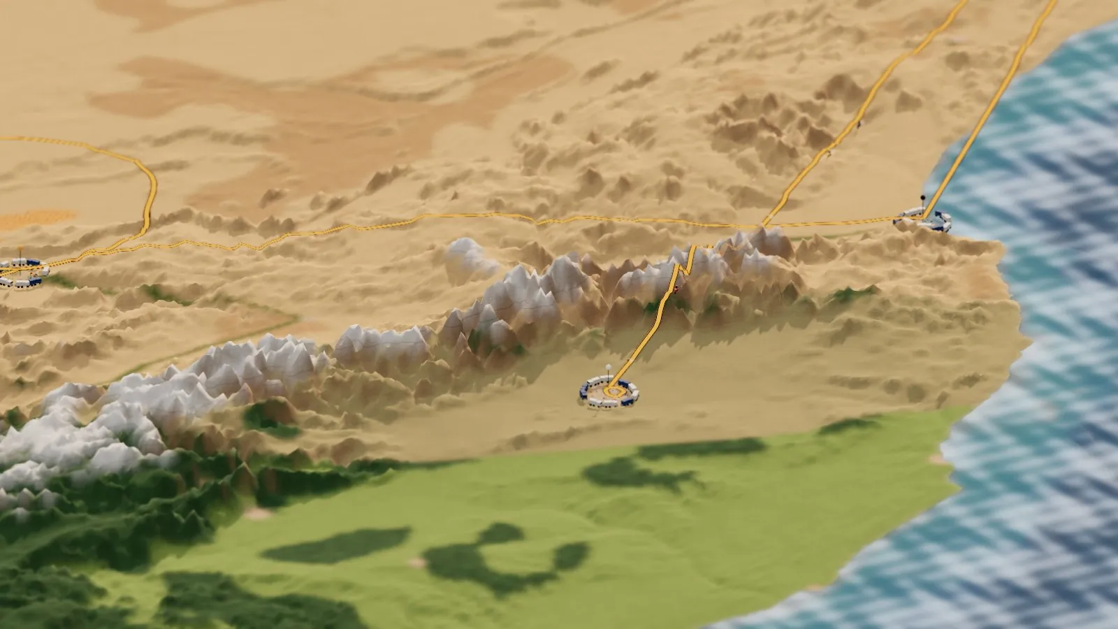
The High Atlas from above Marrakech: green plain on this side, the Sahara on the other.
Into the desert
From Bouârfa the rally runs two big loops out into the high, stony steppe, then stage 4 cuts west through the dunes at Merzouga to Zagora, on the Draa River. That’s where the palms are. The Draa valley is one long ribbon of date groves and earth-walled villages running down to the edge of the Sahara, and on the board it’s the thin green thread through the sand. Zagora gets a loop of its own, 365 km of special, before the rally turns for the coast.
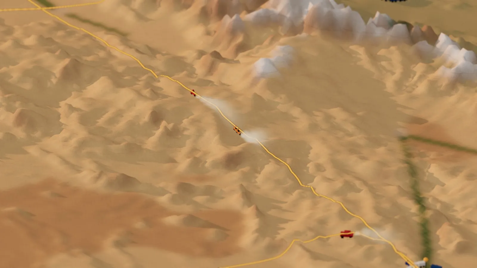
Riding along with the bikes near Zagora, the Draa oasis on the right.
Agadir, and the long way south
Stage 6 crosses the Anti-Atlas to Agadir on the Atlantic for the rest day on Sunday 17 January. Then the real test begins. Stage 7, from Agadir south to Smara, has the longest special of the rally: 500 km against the clock. From Smara, stage 8 runs out to a refuge bivouac in the desert for the marathon night, and stage 9 comes back. Smara gets one more loop, 470 km, before stage 11, the longest day: 1,035 km north across both Atlas ranges to Marrakech. A short 22 km special on 23 January finishes it.
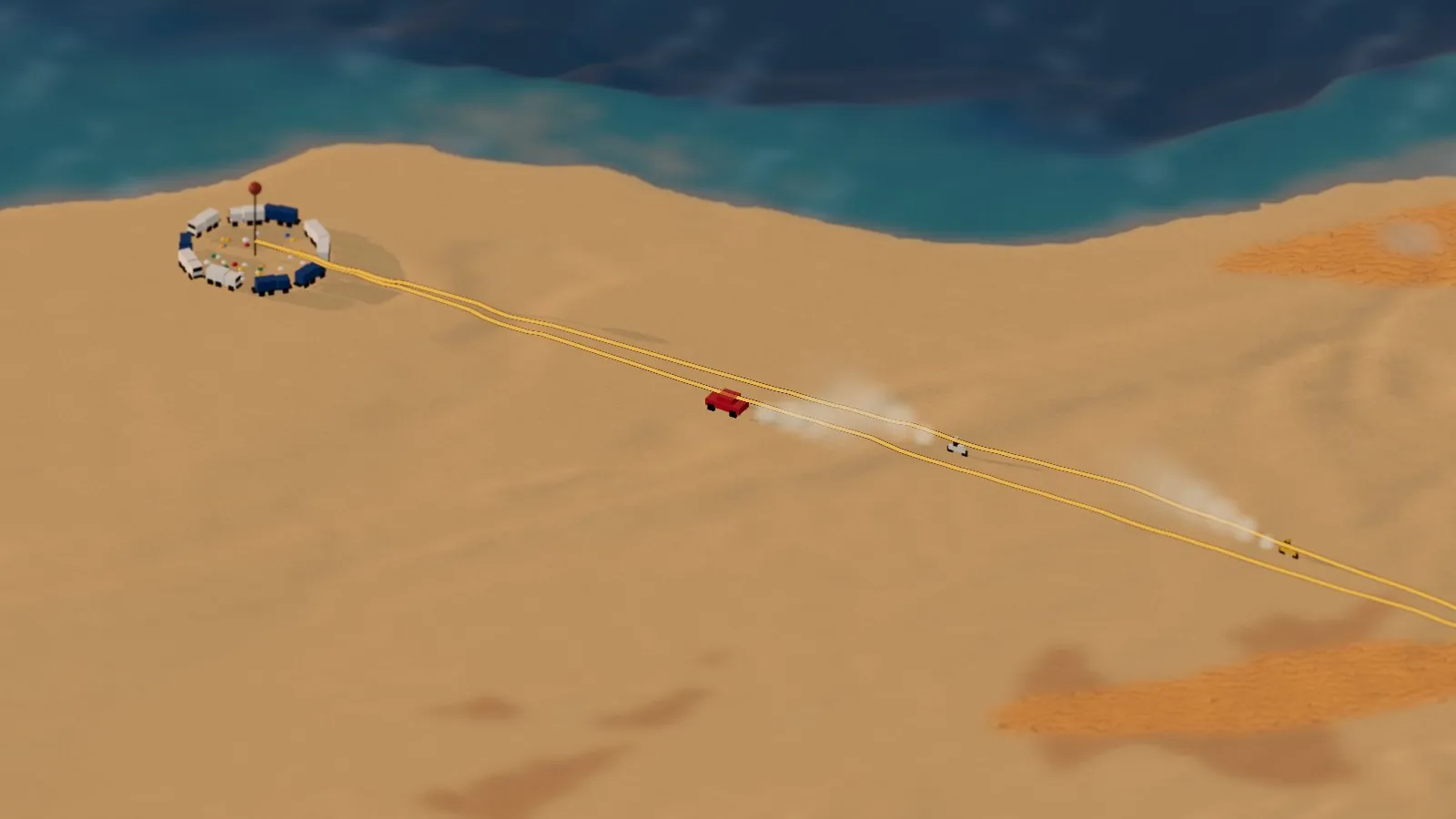
The cars leave the Agadir bivouac for stage 7, the longest special of the rally.
The islands off the edge
The board runs far enough west to catch two island groups the rally never visits: Madeira, and the Canary Islands, with Teide on Tenerife rising to 3,715 m, the highest point in Spain. They’re there because the box had to be that big to hold the route, but I’m glad they are. Under the see-through sea you can see how they stand on the ocean floor: volcanoes rising from deep water, nothing like the continental shelf along the coast.
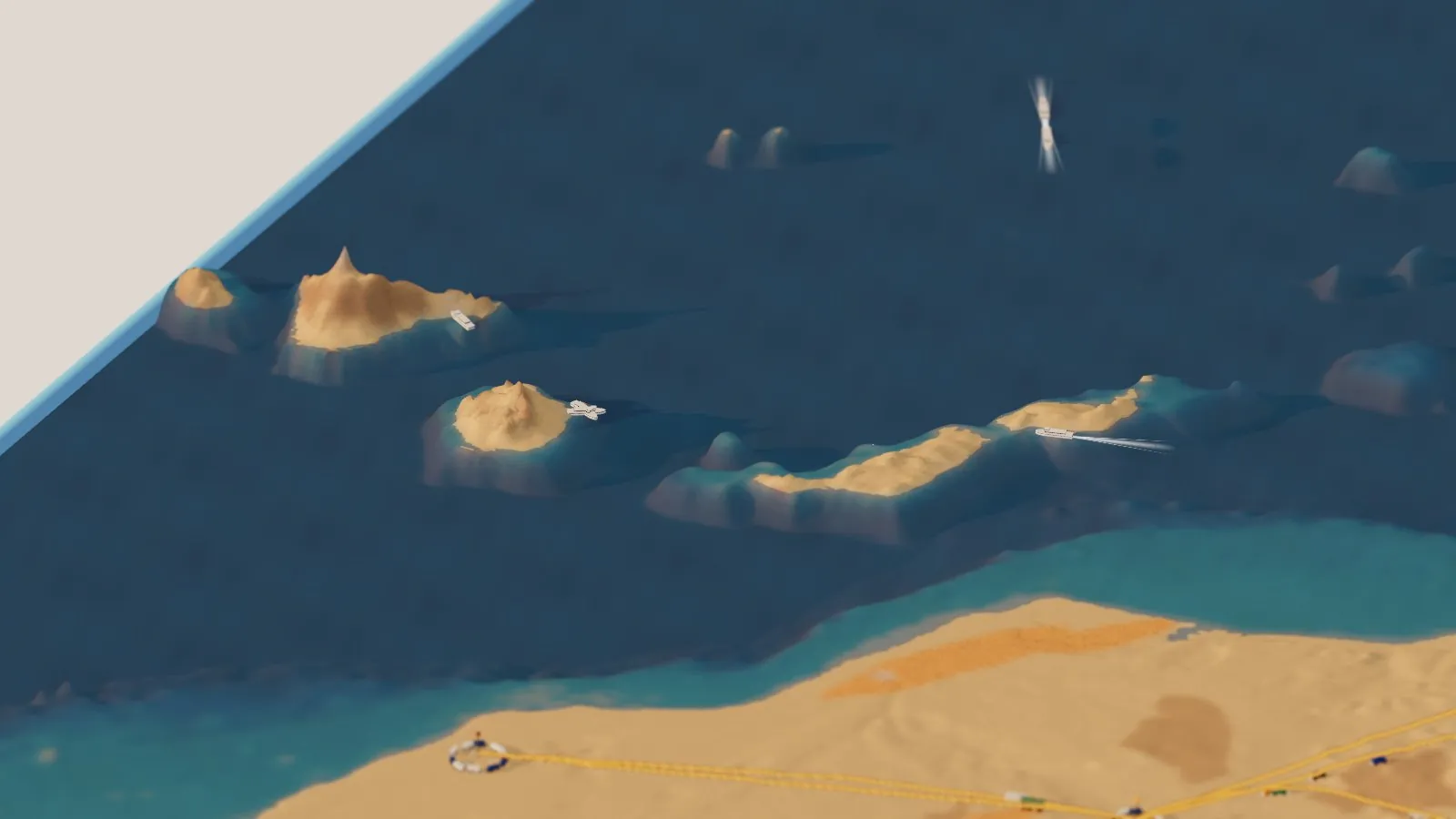
The Canaries, with Teide on Tenerife, and the desert coast in front.
Night in the bivouac
Slide the clock to Night and the board goes dark except for the cities, the lanterns in each bivouac and the headlights of whoever is still out on the route. That’s the Dakar I like best: a little ring of lights in the middle of nowhere, with the mechanics working and the next day’s roadbook just handed out.
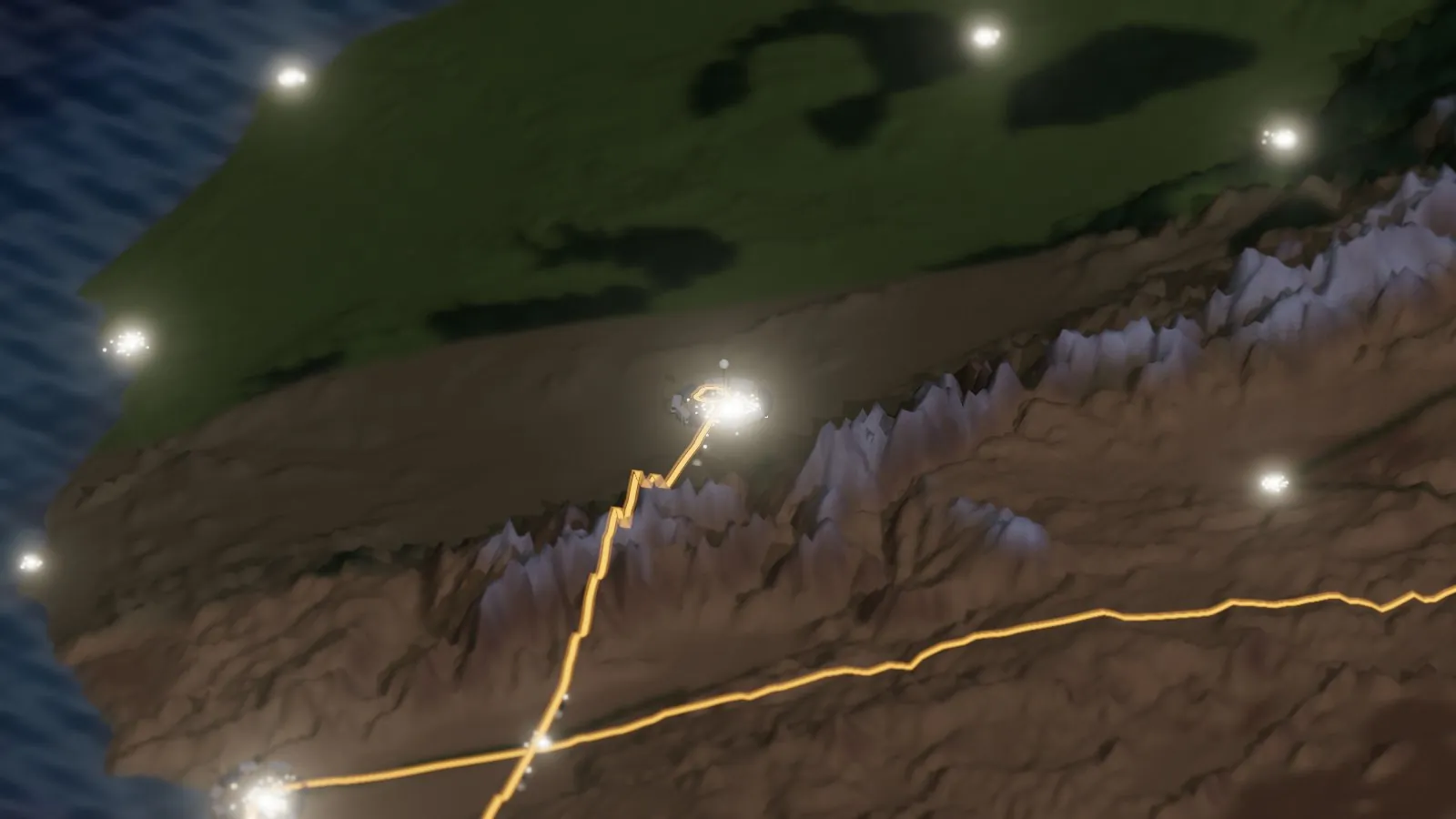
Marrakech and the Atlas after dark, with the finish bivouac lit.
How it’s made
This one needed a new trick. My other dioramas are a few dozen kilometers across. This one is about 1,600, from Madeira to Figuig and from Seville down past Smara. So it’s built at 1/40 scale and the code scales everything back up, which lets the same camera, water and lighting work. The mountains are stretched nine times taller than life so they read from above. The land and the seabed both come from Terrain Tiles on AWS, which at this zoom include real ocean depths, on a 2 km grid.
OpenStreetMap was too big to pull for a box this size, so the landcover comes from geography instead: green in the north, steppe in between, and desert to the south and in the Atlas rain shadow. The real dune seas, the oases of the Draa, Ziz and Dadès valleys, and the cities are painted on from their real coordinates. The route is read from the same file that drives my tracker page, so when ASO updates the route the diorama follows on its weekly rebuild.
One honest caveat: ASO publishes the towns and the distances, not the tracks. Crews only get each day’s roadbook the night before. So the stages are drawn straight from town to town, with a few extra points to keep stage 1 on land and send stage 4 through Merzouga, as ASO’s notes say. The loop stages are drawn as rings as long as their published specials. Where they actually go is anyone’s guess until January.
As before, I built it with Claude. I brought the rally and the questions, and Claude wrote the code. GitHub Actions builds and publishes it, and the film was rendered there too, split across 20 free computers. The code is on GitHub.
Go deeper
The live diorama — fly the stages, ride with the bikes, cars or trucks. Seattle, Yosemite, Tuolumne, the Amalfi Coast and Zermatt are in the place picker too.
Dakar 2027 tracker — the route map, every stage, and the standings once the rally starts.
The Amalfi Coast in Miniature, Yosemite in Miniature and Seattle in Miniature — the first three.
FIA: Dakar returns to Africa in 2027 · Dakar.com · Wikipedia: Dakar Rally
Wikipedia: Atlas Mountains · Wikipedia: Toubkal · Wikipedia: Erg Chebbi · Wikipedia: Draa River
Wikipedia: Erg · Wikipedia: Hamada · Wikipedia: Teide
Terrain Tiles on AWS — land and seabed (SRTM, ETOPO1). · Route: ASO, via dakar.json. · Three.js · the code.