Torres del Paine is the postcard of Patagonia: three granite towers, the two-toned horns of the Cuernos, turquoise lakes, a glacier calving icebergs into a grey lake, and a wind that can knock you off your feet. I wanted to fly over it. So this one comes two ways. First a real flight, rendered with forge3d from satellite data at sunrise. Then a little tilt-and-spin model of the whole park for my diorama viewer, with icebergs, condors, hikers on the trail, and a button for the wind.
The flight
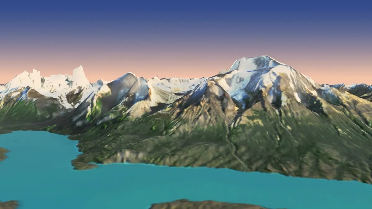
It starts at the south end of Lago Grey, low over the water, and runs up the lake past the icebergs to the face of the Grey Glacier. Then it turns east past Paine Grande, crosses Lago Pehoé to the Cuernos, slips up the Valle del Francés between them, climbs over the Cuernos to the Torres, and swings south to finish on the whole massif across Lago Nordenskjöld. The sun is placed for a February morning a little after sunrise, low in the east, so the light comes from behind you at the end.
Lago Grey to Lago Nordenskjöld at sunrise · Copernicus GLO-30 elevation · Sentinel-2 imagery from March 22, 2026 · rendered with forge3d on GitHub’s free computers
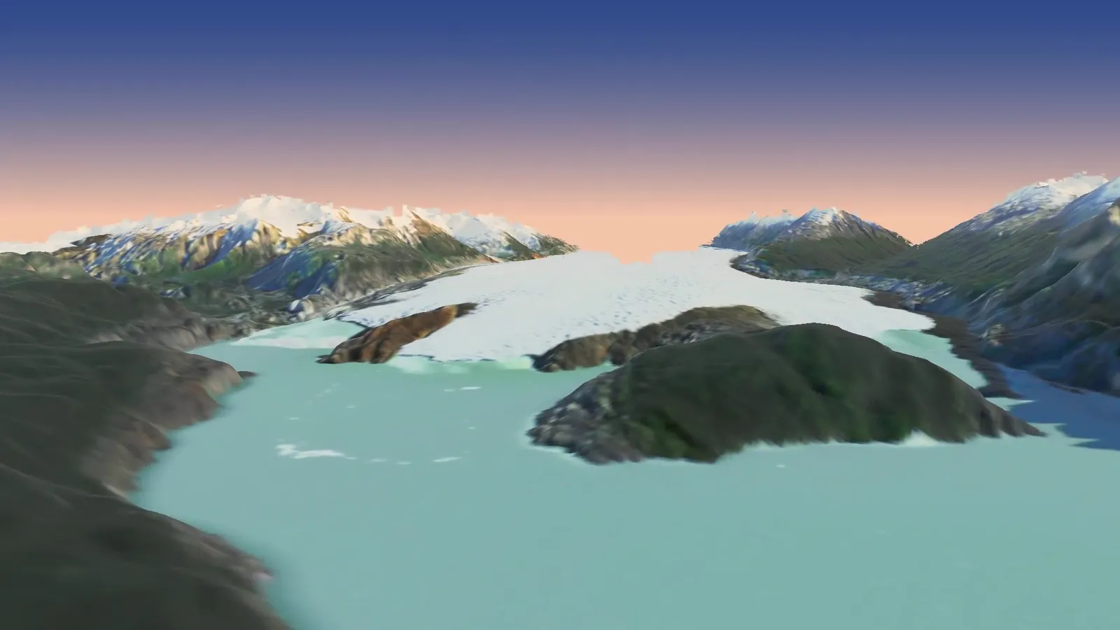
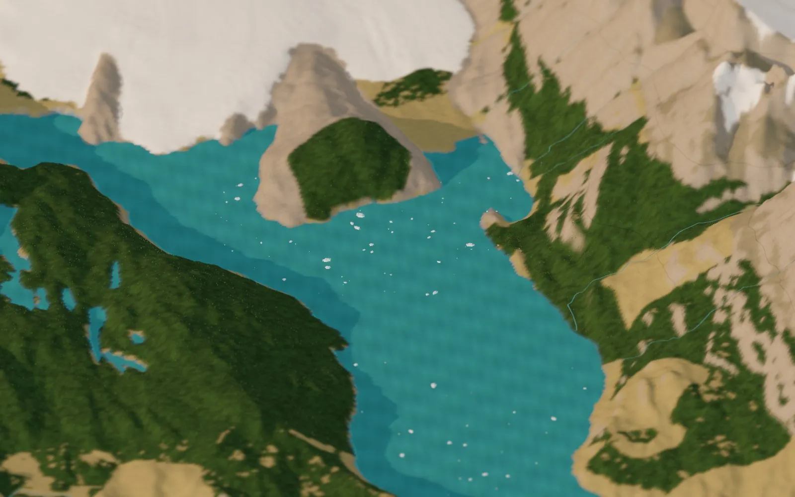
Up Lago Grey toward the glacier’s face, with the island that splits it in two.
The diorama
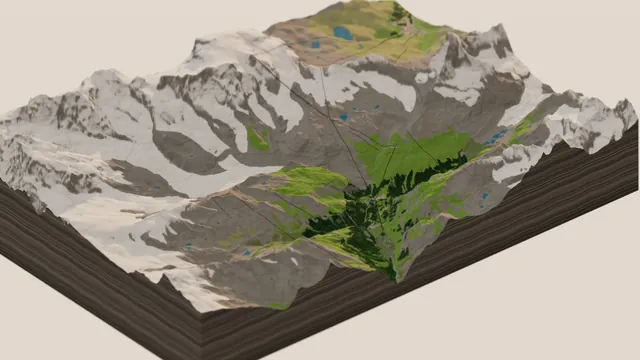
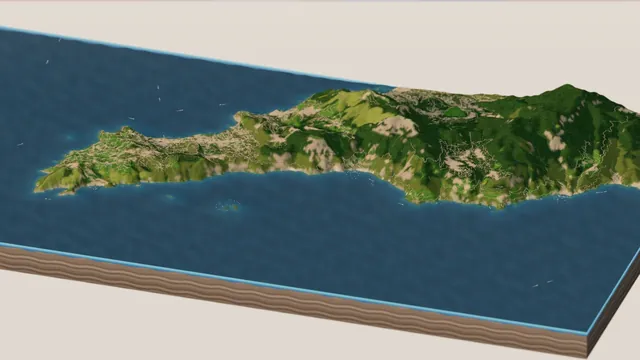
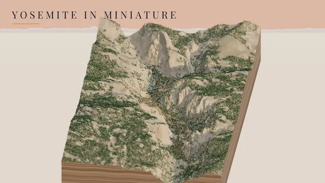
The second half is a model you can spin. It’s the same diorama engine as my Zermatt, Amalfi and Yosemite boards, pointed at the far south. The ground comes from the Copernicus elevation model, and everything on it from OpenStreetMap: 88 lakes, the rivers, the trails, the refugios and campgrounds, and the glaciers. On top of that the code adds Patagonian life: icebergs on Lago Grey, Andean condors circling in the thermals over the Torres, the Cuernos and Paine Grande, hikers in bright jackets walking the trails, and the refugios lighting up after dark.
Torres del Paine in miniature, morning to night · Copernicus GLO-30 · OpenStreetMap · rendered in Three.js on GitHub’s free computers
Lago Grey
the trails
the thermals
ñirre trees
Try it
Drag to spin, scroll to zoom, and tilt it down to the lakes. Fly to takes you to the Cuernos across Lago Pehoé, the Torres, the Valle del Francés, Paine Grande, the Grey Glacier and its icebergs, Salto Grande and Lago Nordenskjöld. Under Ride along you can hike the W with the hikers or soar with a condor. Switch Summer off to turn the clock to late April, when the lenga forests go red and the snow comes down the peaks, and the Patagonian wind switch does what you’d expect.
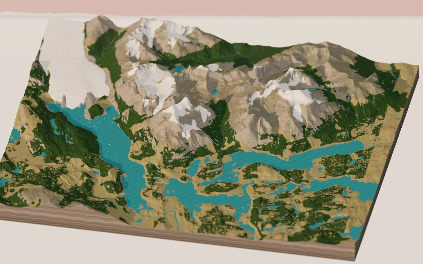
Loads the live 3D Torres del Paine right in this page (a few MB of data, so give it a moment) · or open it full screen
The towers and the horns
The park takes its name from the Torres, three granite towers about 2,250 to 2,500 m high at the top of the Ascencio valley. The hike up to the lake at their foot, the Base de las Torres, is the most famous day in the park, and a lot of people do it in the dark to be there when the first sun turns the towers orange. In the diorama the climbers on the towers have headlamps on before dawn. Just south are the Cuernos, “the horns”, pale granite peaks with dark tops that look as if they were dipped in chocolate.
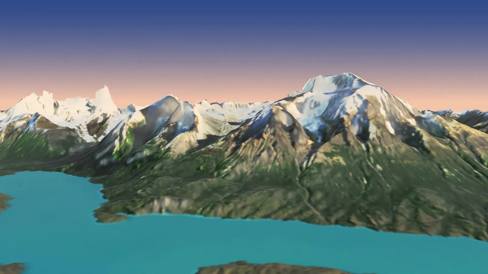
The end of the flight: the whole massif across Lago Nordenskjöld.
Lakes, steppe and lenga
Below the peaks the park is two different worlds. To the west and up the valleys there are forests of lenga, a southern beech, which stop at a sharp treeline somewhere around 800 to 1,000 m. To the east it opens out into golden Patagonian steppe of tussock grass and thorny scrub, with guanacos and the odd puma. The lakes between them come in every shade from milky grey to turquoise to deep blue, depending on how much glacier flour is in the water. Lago Pehoé and Lago Nordenskjöld are the famous turquoise ones, joined by a short stretch of the Paine River and the waterfall of Salto Grande.
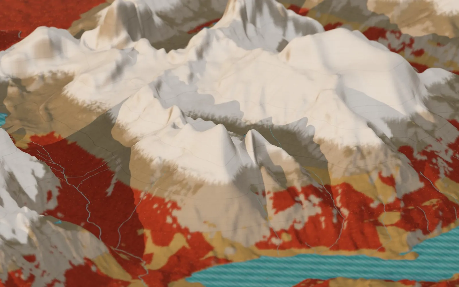
Late April in the diorama: the lenga turns red and the snowline drops.
Icebergs off the Grey Glacier in the diorama.
How it’s made
The flight is built the same way as my Icefields Parkway flyover. The terrain is the Copernicus GLO-30 elevation model, resampled to a 20 m grid, and the ground color is a single Sentinel-2 satellite pass from March 22, 2026, which turned out to be almost perfectly clear, a small miracle in Patagonia. A little Python grades the imagery, fills the lakes with their own color, and turns the steepest faces to bare granite where the satellite, looking straight down, had smeared the snow from the summits down the walls. The camera path is a smooth curve through eleven keyframes, and forge3d renders each frame on GitHub’s computers with no graphics card, using software Vulkan, split across 30 machines.
One fun problem along the way: the painted dawn sky kept leaving a pale band along the skyline wherever the renderer’s own sky turned creamy near the low sun. The fix was to work out where the sky must be from the terrain itself, by projecting every elevation cell through the camera and keeping the highest one in each column of the frame.
The diorama uses the seattle-diorama code with a new Patagonian ground mode, steppe below and lenga on the sheltered slopes, plus the icebergs, condors, hikers and wind. As always I built it with Claude: I brought the wish list and Claude wrote the code. Both halves live in the same repository.
Go deeper
The live diorama — hike the W, soar with a condor, turn on the wind. Zermatt, Amalfi, Yosemite and the rest are in the place picker too.
The Icefields Parkway flyover and Zermatt in Miniature — the flight and the diorama this one builds on.
Pumas: Legends of the Ice Mountains — Nature (PBS), 3 February 2021, 53 min. A year with a puma mother and her cubs in Torres del Paine, hunting guanacos below the towers.
Where Pumas Roam: The Keepers of Torres del Paine — Rewildology, episode 205, 29 April 2025, 33 min. Nicolás Lagos of Panthera on why the park’s cats do so well, and how the ranchers next door are learning to live with them.
Where Ice Meets Sky: Patagonia’s Vanishing Glaciers — Rewildology, episode 210, 3 June 2025. Glaciologist Inés Dussaillant on how the ice field works and why it’s shrinking.
Michel, J., Baumgartner, L., Putlitz, B., Schaltegger, U. & Ovtcharova, M. (2008). Incremental growth of the Patagonian Torres del Paine laccolith over 90 k.y. Geology 36(6), 459–462. Zircon dating shows the granite went in as stacked sheets, all within about 90,000 years.
Leuthold, J., Müntener, O., Baumgartner, L.P., Putlitz, B., Ovtcharova, M. & Schaltegger, U. (2012). Time resolved construction of a bimodal laccolith (Torres del Paine, Patagonia). Earth and Planetary Science Letters 325–326, 85–92. Adds the dark sills under the granite: about 88 km³ of magma in roughly 162,000 years.
Weidemann, S.S., Sauter, T., Malz, P., Jaña, R., Arigony-Neto, J., Casassa, G. & Schneider, C. (2018). Glacier mass changes of lake-terminating Grey and Tyndall glaciers at the Southern Patagonia Icefield derived from geodetic observations and energy and mass balance modeling. Frontiers in Earth Science 6, 81. The Grey Glacier itself, thinning by about a metre of water a year from 2000 to 2014.
Dussaillant, I., Berthier, E., Brun, F., Masiokas, M., Hugonnet, R., Favier, V., Rabatel, A., Pitte, P. & Ruiz, L. (2019). Two decades of glacier mass loss along the Andes. Nature Geoscience 12, 802–808. Ice loss along the whole Andes from satellites; the Patagonian ice fields lose the most.
Rignot, E., Rivera, A. & Casassa, G. (2003). Contribution of the Patagonia Icefields of South America to sea level rise. Science 302, 434–437. The classic paper that put Patagonia’s melting on the map.
Garreaud, R., Lopez, P., Minvielle, M. & Rojas, M. (2013). Large-scale control on the Patagonian climate. Journal of Climate 26, 215–230. How the westerlies soak the Pacific side of the Andes and leave the steppe dry.
Vidal, O.J. & Reif, A. (2011). Effect of a tourist-ignited wildfire on Nothofagus pumilio forests at Torres del Paine biosphere reserve, Chile (Southern Patagonia). Bosque 32(1), 64–76. After the 2005 fire, the burned lenga lost about 92% of its trees and nearly all its seedlings.
Kankanamge, N. et al. (2026). Strong trophic specialization on guanaco within the native prey community: DNA metabarcoding of puma diet in Torres del Paine, Patagonia. Frontiers in Ecology and Evolution 14. Guanaco turned up in about two thirds of the puma scats from a ranch next to the park.
Elbroch, L.M. & Wittmer, H.U. (2013). Nuisance ecology: do scavenging condors exact foraging costs on pumas in Patagonia? PLoS ONE 8(1), e53595. Further north in Aysén: condors showed up at 43% of puma kills.
Wikipedia: Torres del Paine National Park · Cordillera Paine · Cuernos del Paine · Grey Glacier · Southern Patagonian Ice Field · Lenga beech · Andean condor
CONAF: Parque Nacional Torres del Paine — the park service, with the trail rules and the no-fire rules. · UNESCO: Torres del Paine Biosphere Reserve — designated 1978. · NASA Earth Observatory: Grey Glacier — an astronaut photo next to a 1986 Landsat view, the ice pulled back on every lobe.
Copernicus DEM GLO-30 — the ground, © DLR e.V. 2010–2014 and © Airbus Defence and Space GmbH 2014–2018, provided under COPERNICUS by the European Union and ESA. · Copernicus Sentinel-2 imagery (2026), via Element 84’s Earth Search. · OpenStreetMap — lakes, trails, refugios, glaciers and names, © OpenStreetMap contributors (ODbL). · forge3d by Milos Popovic · Three.js · the code.